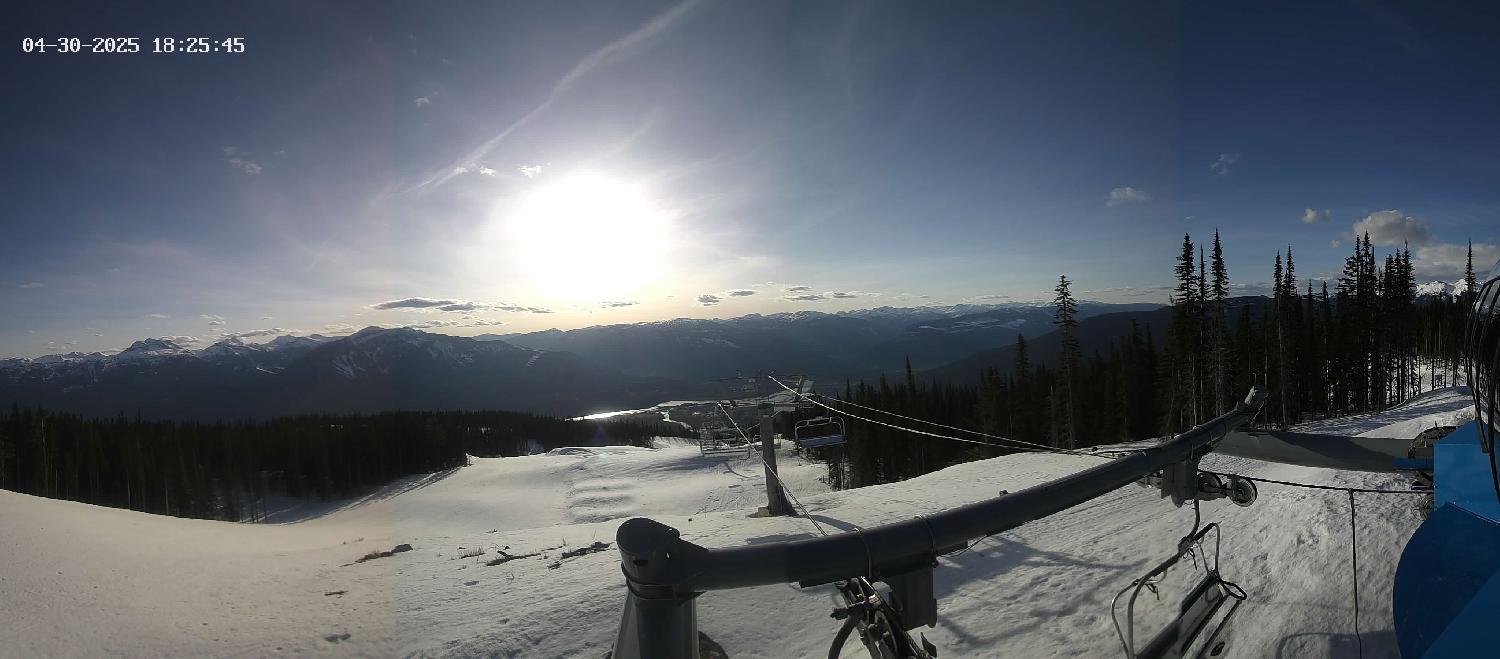
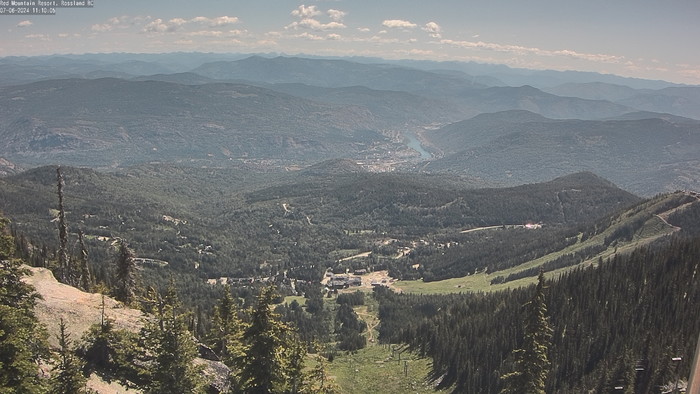
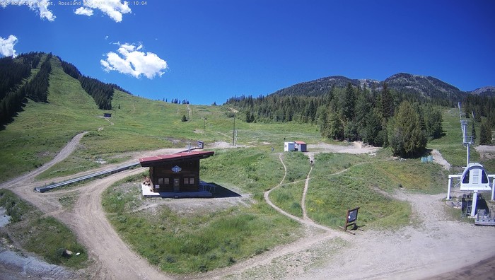
Revelstoke Mountain Resort, West Kootenay region of BC
Top of Stoke Chair - West ViewElevation: 2,225 metres (7,300 feet)VillageTop of Upper GondolaElevation: 1,694 metres (5,558 feet)Top of Ripper ChairElevation: 1,960 metres (6,398 feet)Stellar - West View (5800ft)Glacier National Park, Fidelity (15km W of Rogers Pass) - East View (6250ft)
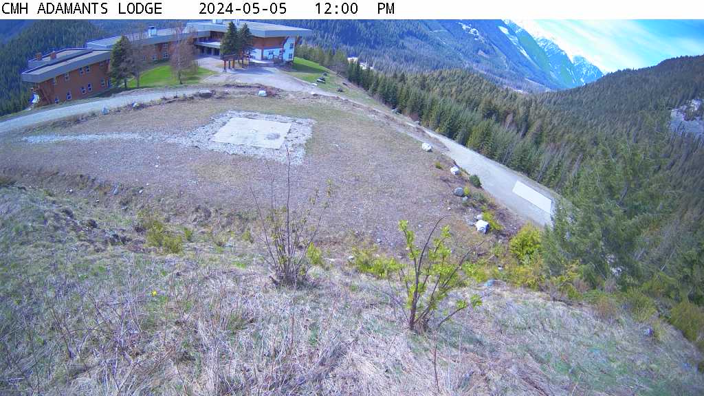
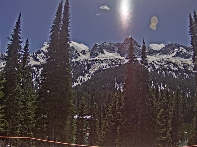
CMH Adamants Lodge (~70km N of Revelstoke) - South View (3000ft)CMH Monashee Lodge (6km S of Mica Dam) (2000ft)
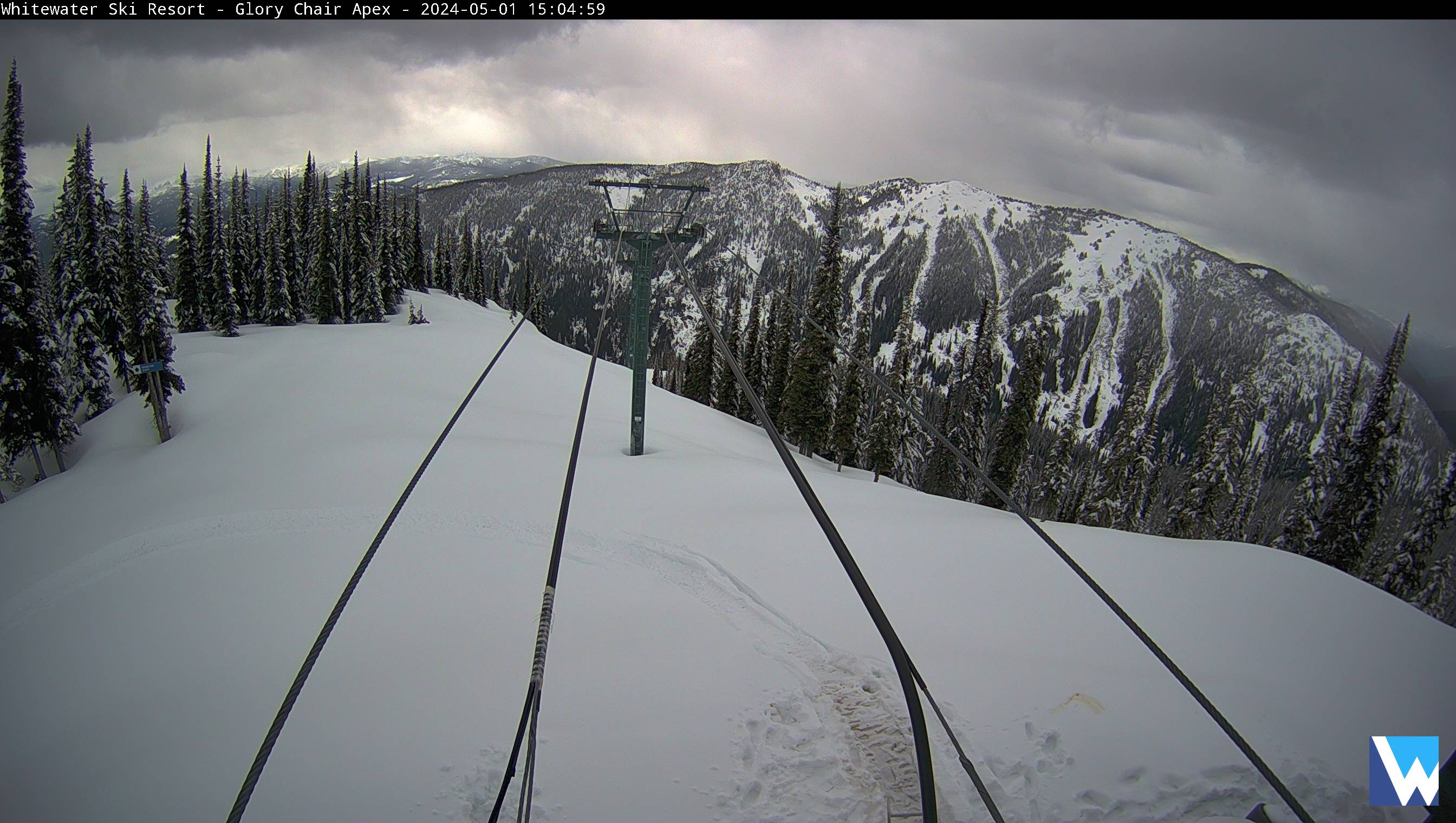
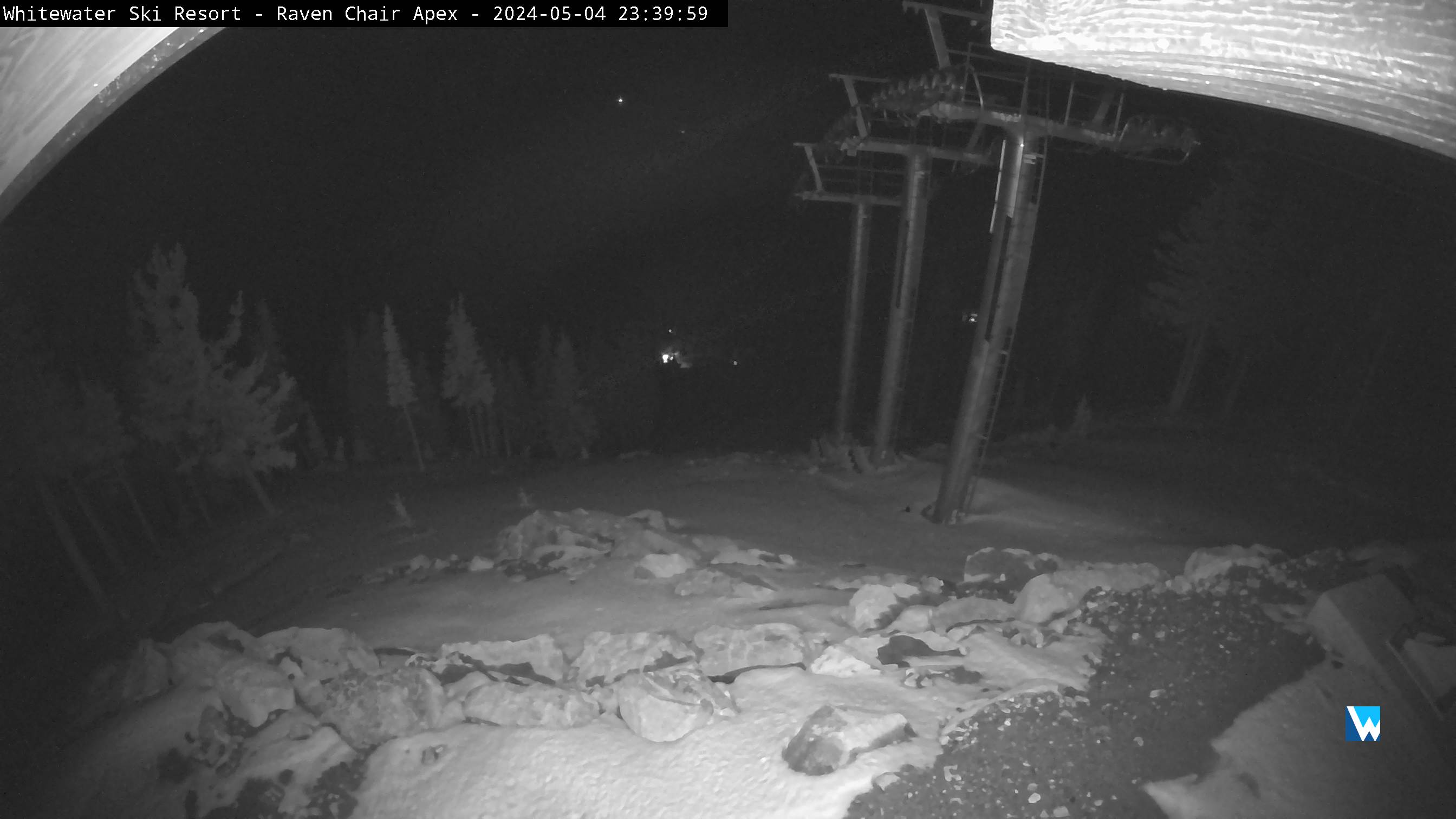
Whitewater Ski Resort, Nelson BC
Lodge CameraWhitewater Summit CameraGlory Camera Raven Chair Apex
Kaslo & Kootenay Lake
Kootenay Lake, Pilot Bay - West View (3250ft)Powder Creek Lodge (16km E of Kaslo) - SW View (7100ft)
Purcell Mountain RangeBaldface Lodge (12km N of Nelson) - South view (6700ft)
Kicking Horse, BC
Eagles Eye - 2345m (7700ft)Terminator - SE View 2410m(7900ft)Stairway to Heaven - Northview 2420m (79200ft)Snowfall Measurement 2060m(6759ft)Cleared between storms & Daily at 3pm
Southeastern BC, Shuswap
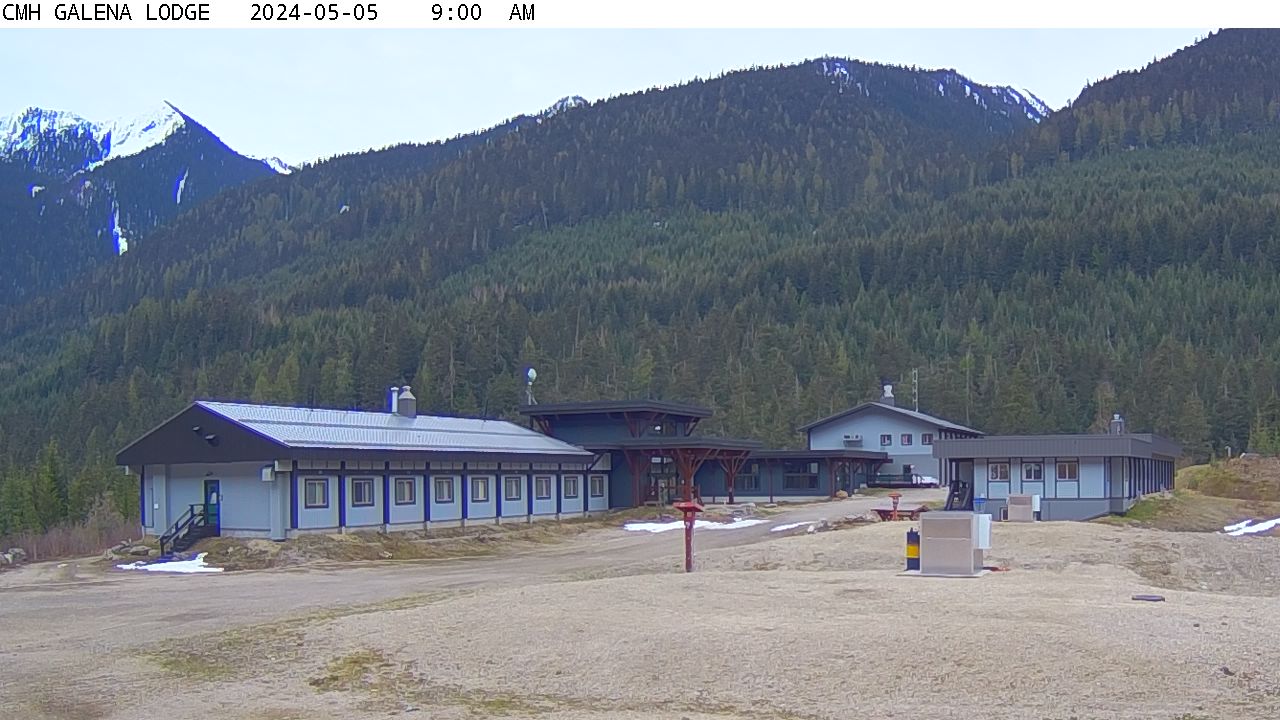
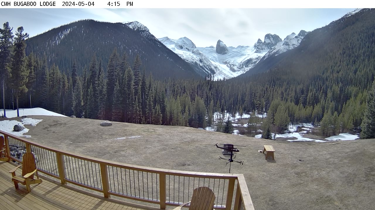
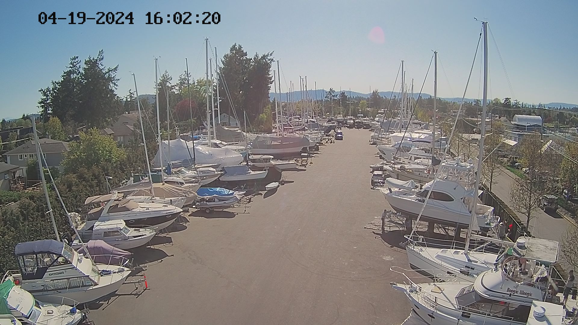
Copper Point Golf ClubInvermere, BCShuswap - Captains Village MarinaShuswap - Anglemont MarinaKinsmen Beach 1Courtesy of the District of InvermerePanorama Mountain Resort Mile 1 Express Liftlocated near InvermereValhalla - Silverton - West ViewCMH Heli Skiing Galena LodgeSouth East of RevolstokeCMH Bugaboo Lodge (16km W of Brisco) - West View (4900ft)
Kimberley Alpine Resort
Top of Northstar Express QuadKimberley Base AreaCaper & Vimy Ridge
Fernie, Elk Valley area, Panorama Resort, East Kootenay Region, Southeastern BC
Cedar Bowl View From Great Bear Top = 1680mView From Lost Boys Cafe 1732mView Up to White Pass Top = 1908mIsland Lake Lodge - FernieIsland Lake Lodge - FernieFernie Golf CourseFernie (Morrissey Ridge, 7000FT) West View
Okanagan
SilverStar, northeast of Vernon, BC
SilverStar Village CamTop of CometAlpine MeadowsPOW Cam
Top of Silver WoodsBrewer's PondTube TownComet Runs
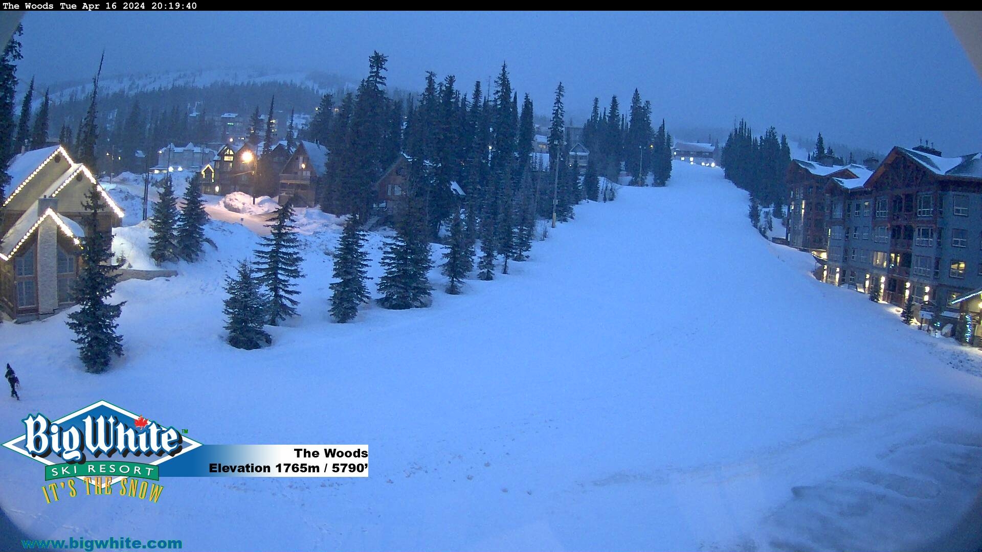
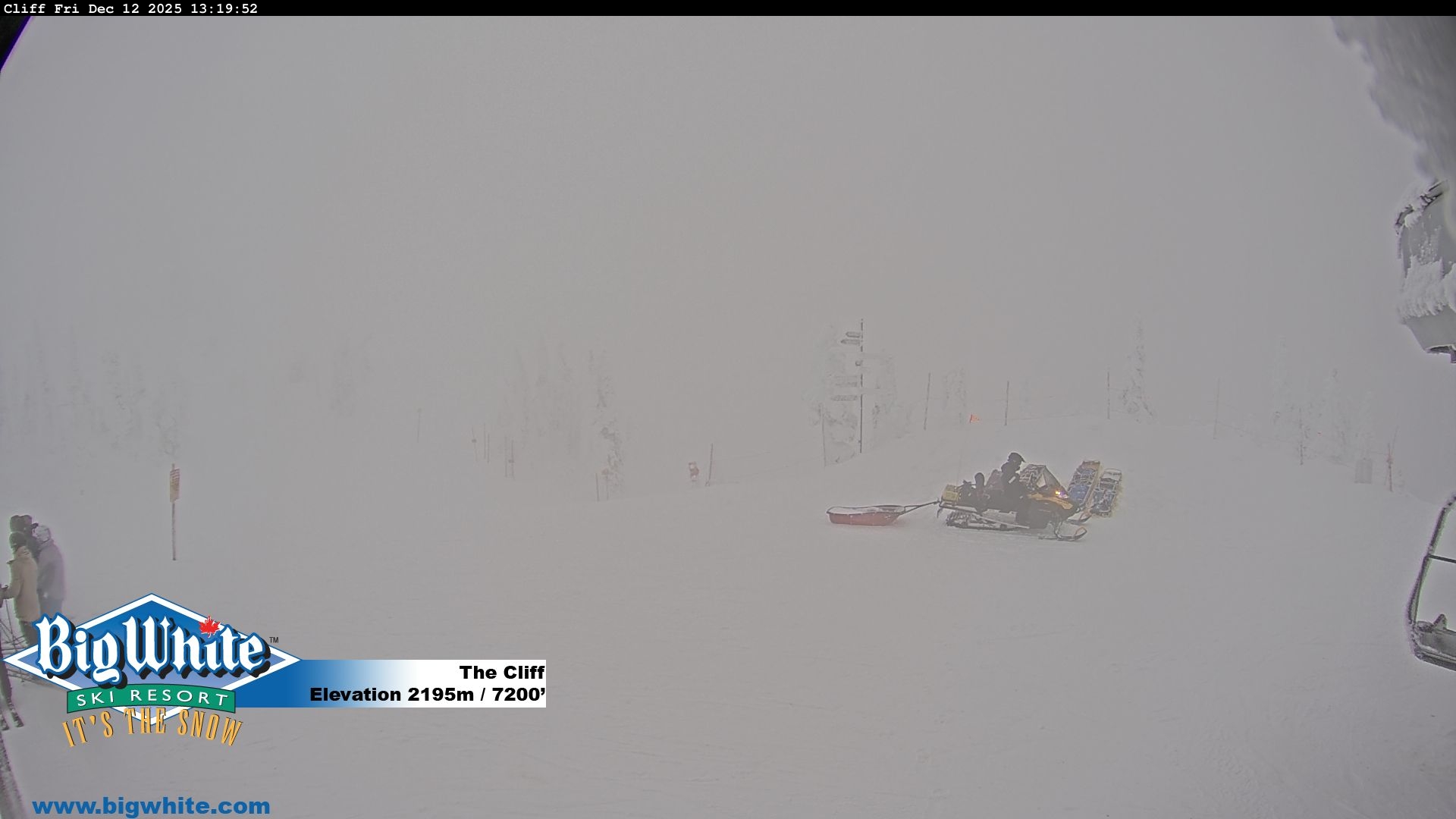
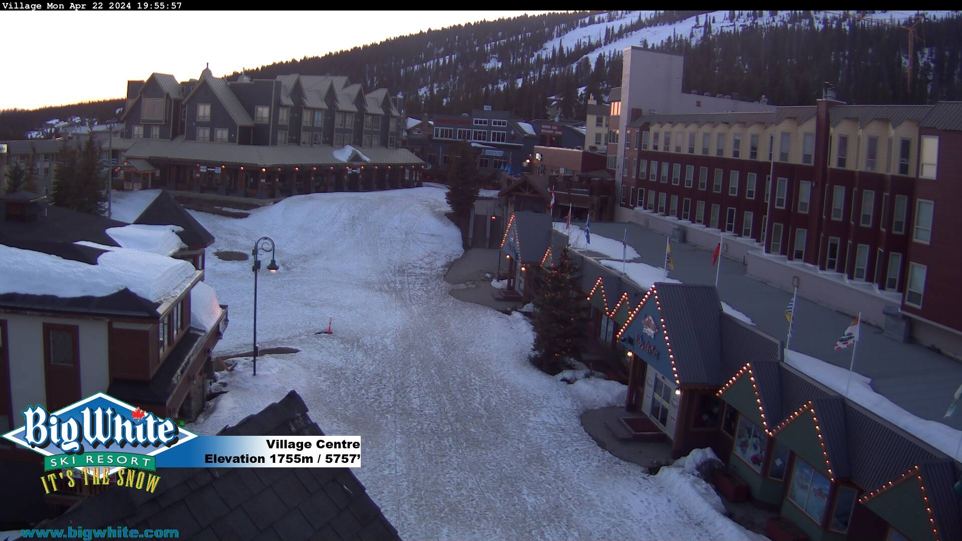
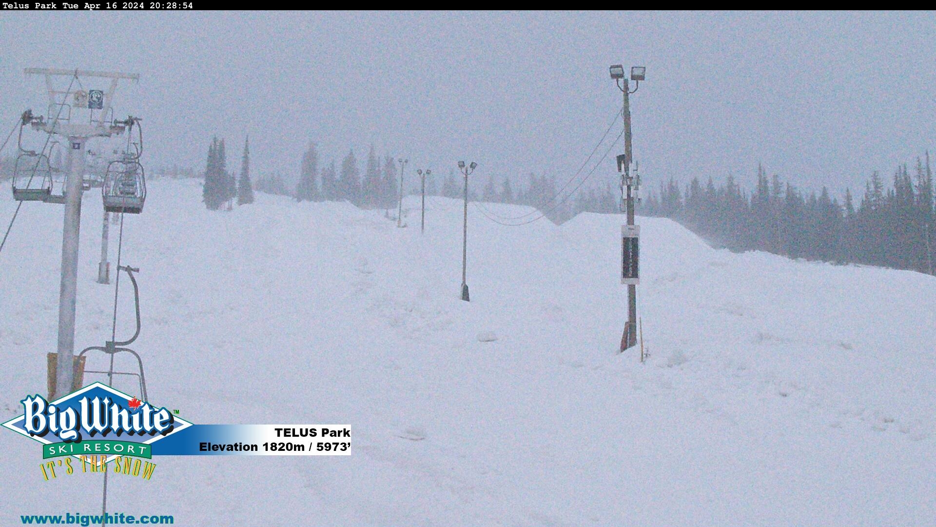
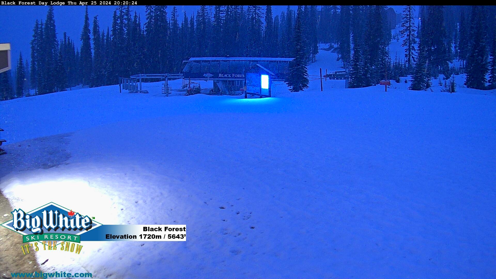
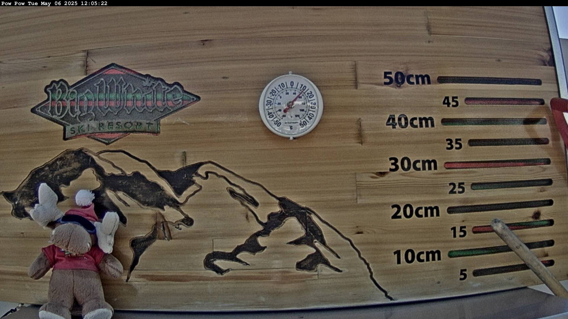
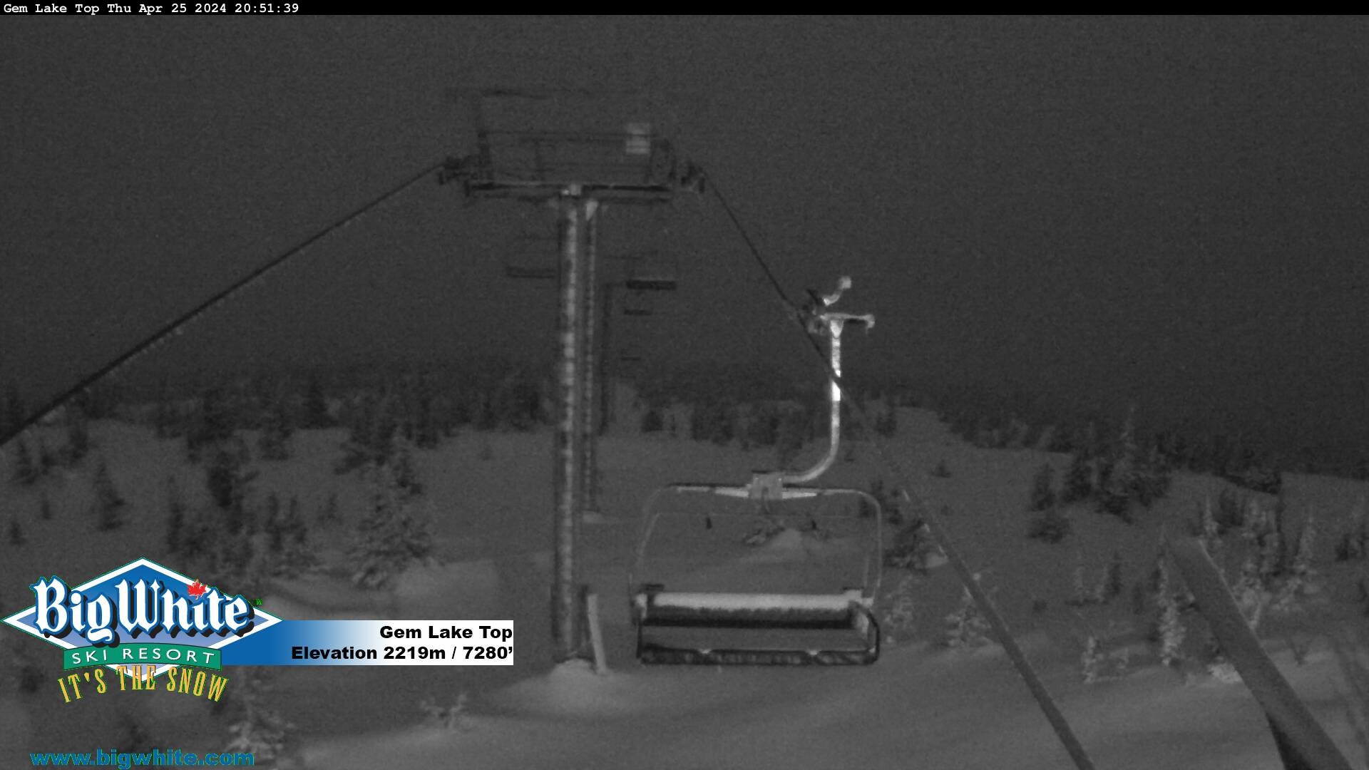
Big White near Kelowna BC
The WoodsElevation: 1765mThe CliffElevation: 2195mHappy ValleyElevation: 1667mVillage CenterElevation: 1755mTelus ParkElevation: 1820mBlack ForestElevation: 1720mPow CamThis plot is cleared of any snow daily at 4:00pm. Measurements from this plot are not used for our
daily snow report.Gem Lake Top
UBC North FacingUBC East FacingUBC South FacingUBC West Facing
SFU Burnaby Campus
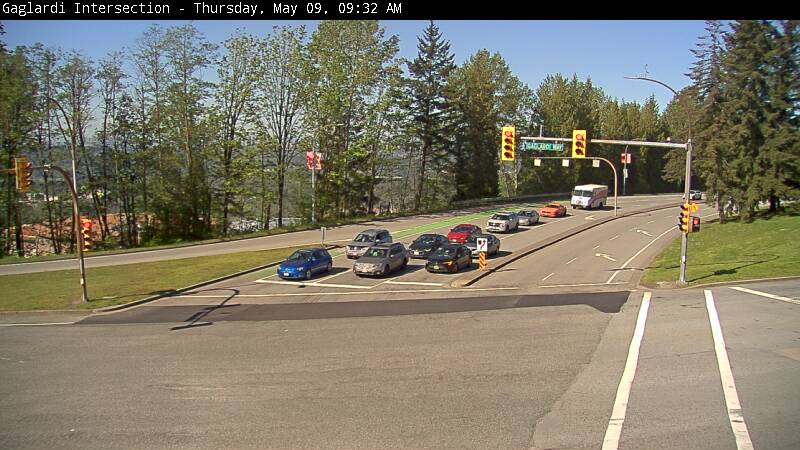
University Drive NorthSimon Fraser UniversityTower Road NorthSimon Fraser UniversityTower Road SouthSimon Fraser UniversityAQ South WestGaglardi IntersectionSimon Fraser UniversityWEST MALL CENTRE (WMC) ROOFMount Seymour
Sea-to-Sky
Squamish, along the Sea to Sky Highway (Highway 99), Elevation=5m
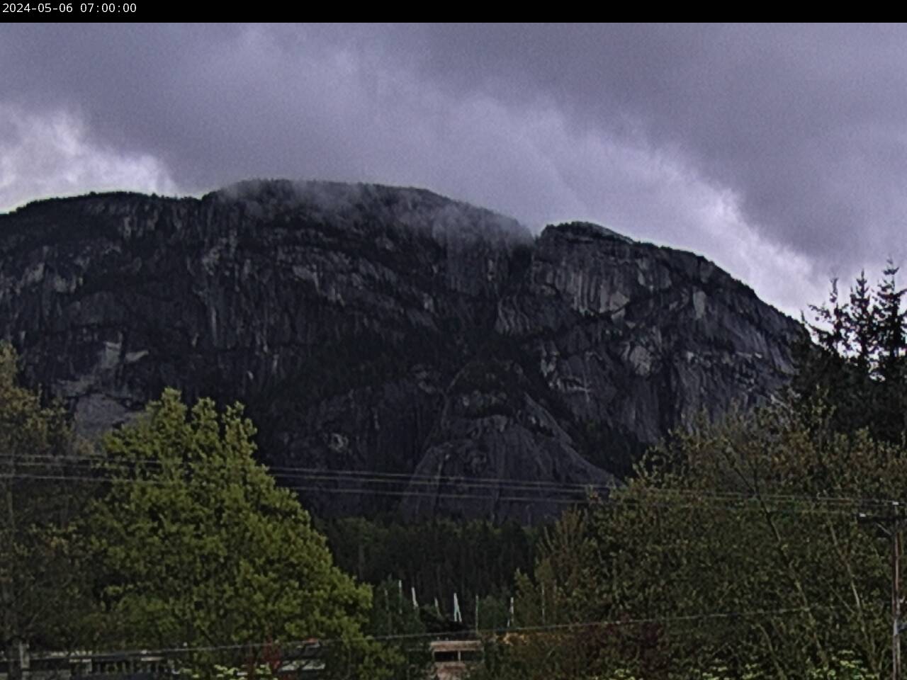
Stawamus ChiefHighway 99 near Cleveland Avenue looking southCam located Squamish Adventure Centre Smoke BluffsHighway 99 near Cleveland Avenue facing Smoke BluffsCam located at Squamish Adventure CentreStawamus ChiefSecond Avenue at Main Street looking south to Stawamus ChiefCam located at Municipal HallMunicipal HallSecond Avenue at Main Street looking westElevation: 5mBrennan Park Recreation CentreLoggers Lane near Centennial Way looking westTantalus Fire HallHighway 99 near Garibaldi Way looking north west
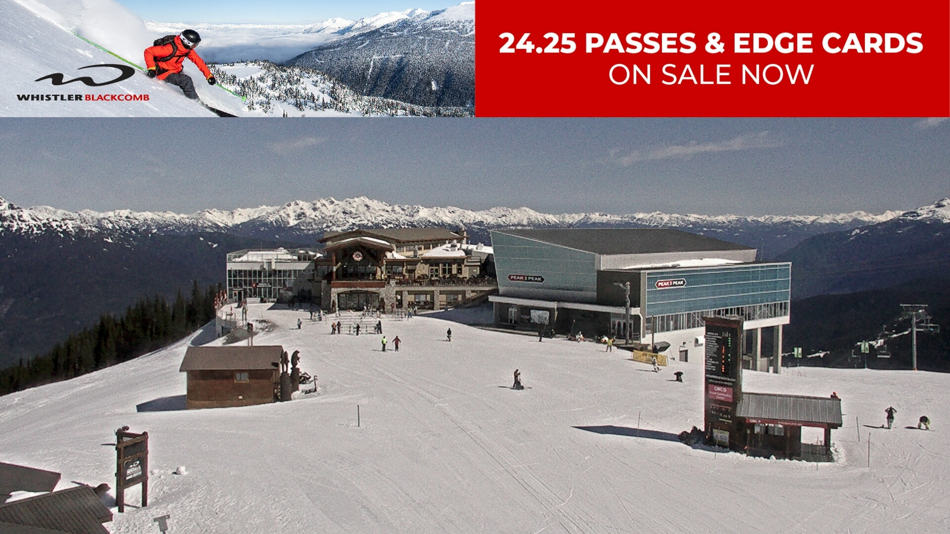
Whistler
Whistler - RoundhouseElevation: 1,850/6,069ftWhistler - Heli Pad Whistler - Big Red
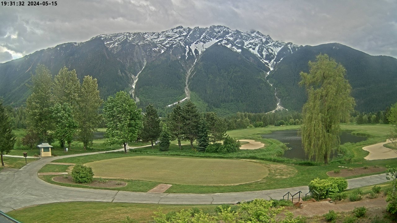
Big Sky Golf Club facing Mount CurriePembertonThis webcam is overlooking the 1st tee facing in a westerly and slightly south
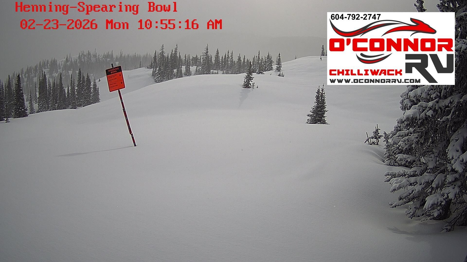
direction.PembertonHenning-Spearing BowlArea H - 25km from Princeton
Central BC
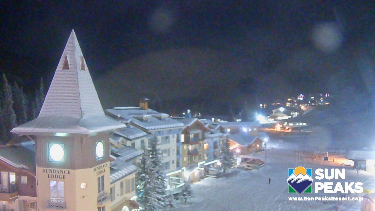
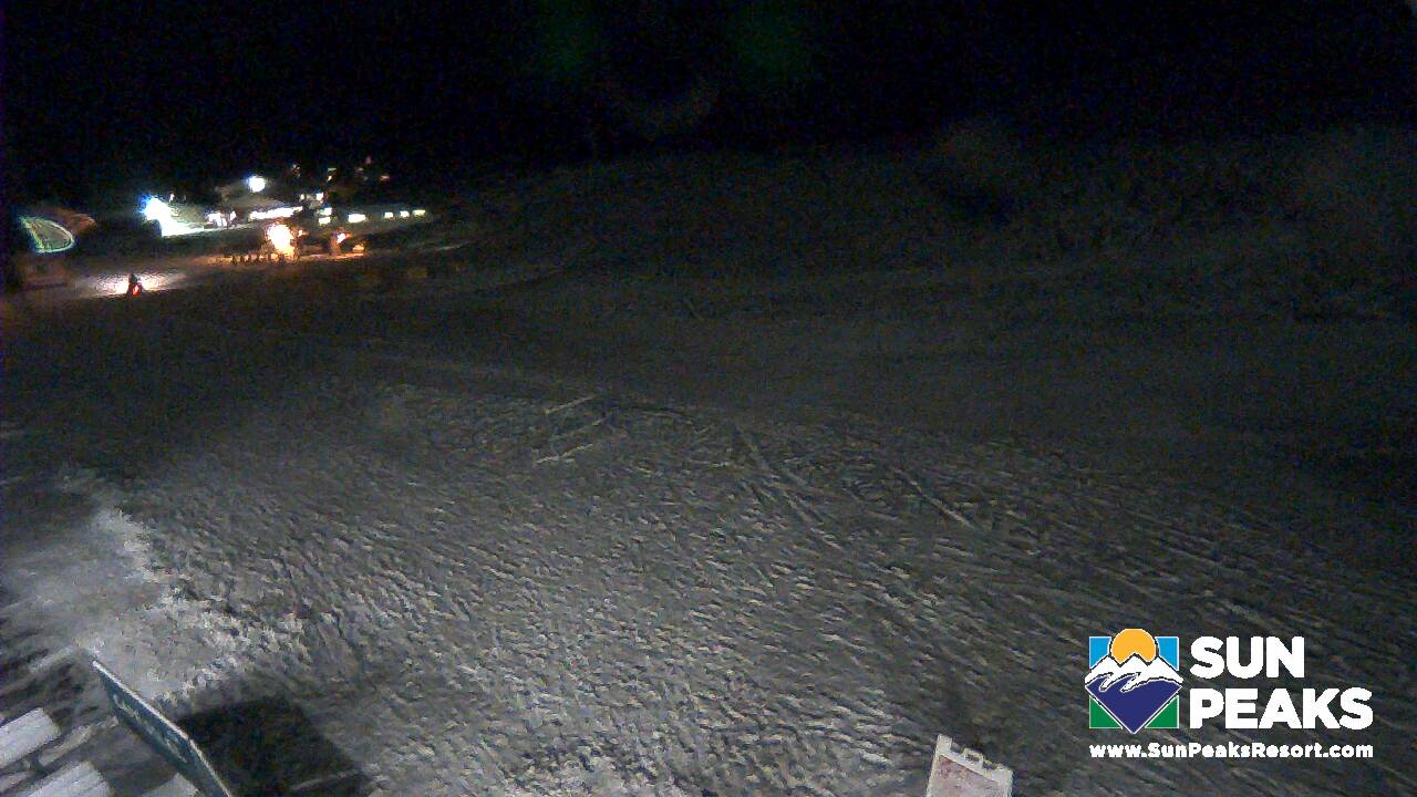
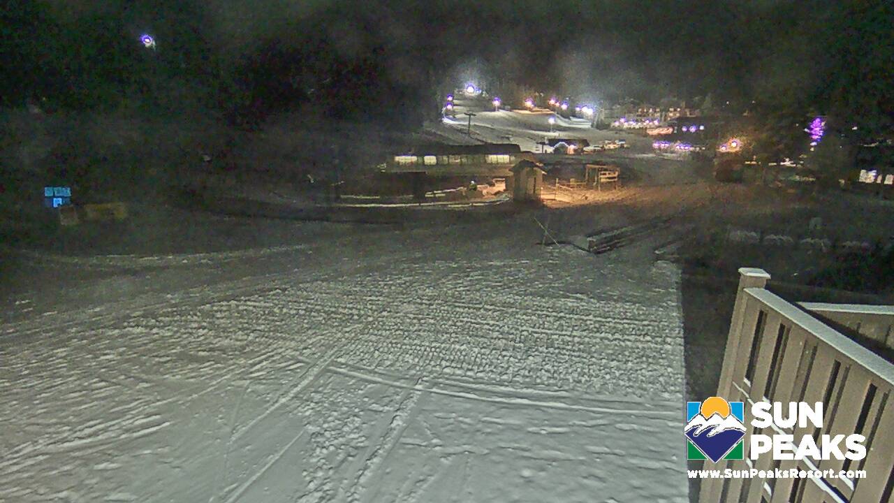
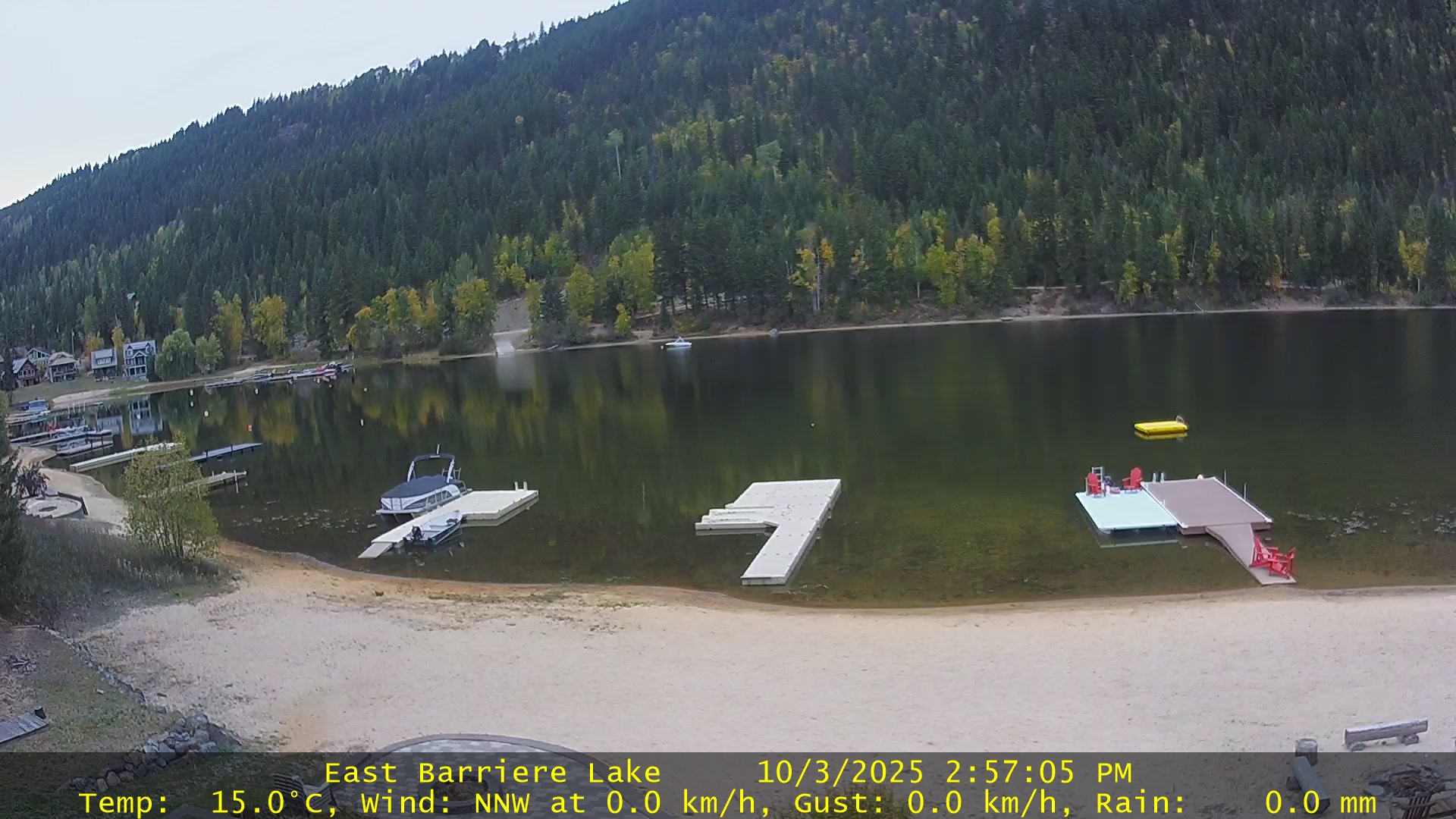
Sun Peaks, 55km northeast of Kamloops, BC
Village SquareVillage Base, 1,255m (4,116')Village Day Lodge SlopesideVillage Base, 1,255m (4,116')Sunburst Lift BaseVillage Base, 1,255m (4,116')East Barriere Lake
Chilcotin, Cariboo & Central BC
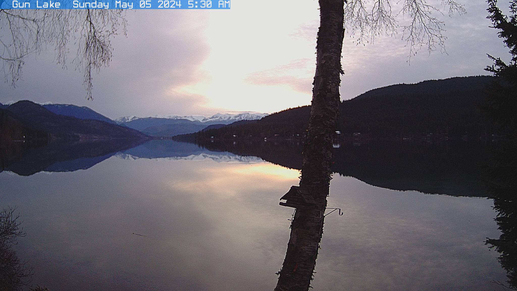
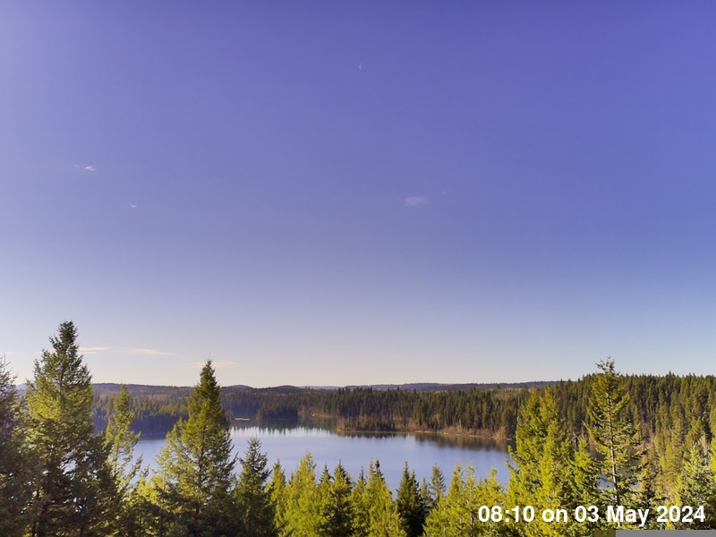
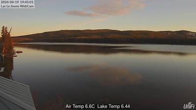
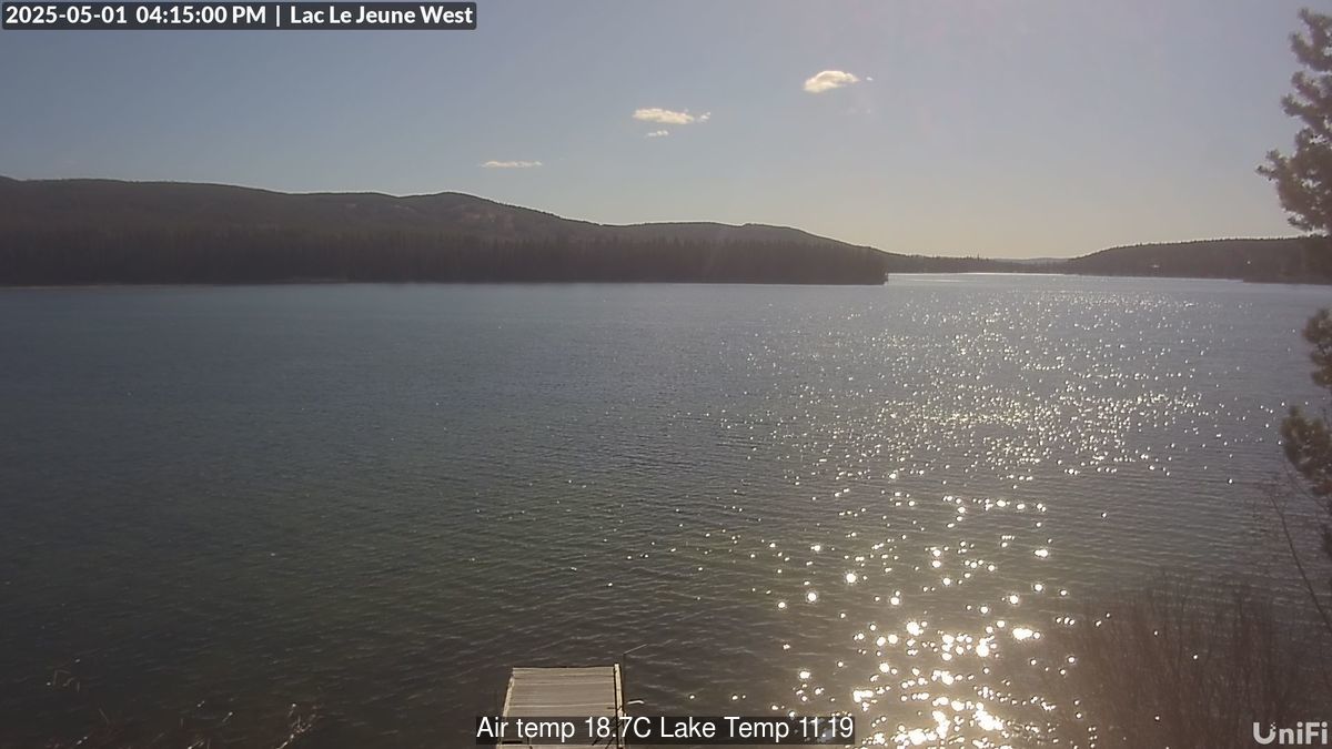
Gun Lake - South Chilcotinapprox 100km West of LillooetDickson Rangeapprox 100km West of LillooetBarkerville Historic Town East of QuesnelVillage of ValemountAlong Highway 16, 45min from Jasper, close to the Alberta borderBridge LakeSouth East of 100 Mile HouseElevation: 1204mLac Le Jeune, Thompson-NicolaSouth-West of KamloopsLac Le Jeune 2, Thompson-NicolaSouth-West of Kamloops
Osprey Lake, Princeton, BCStake Lake Ski TrailsKamloops, BC
Sheridan Lake, East of 100 Mile House
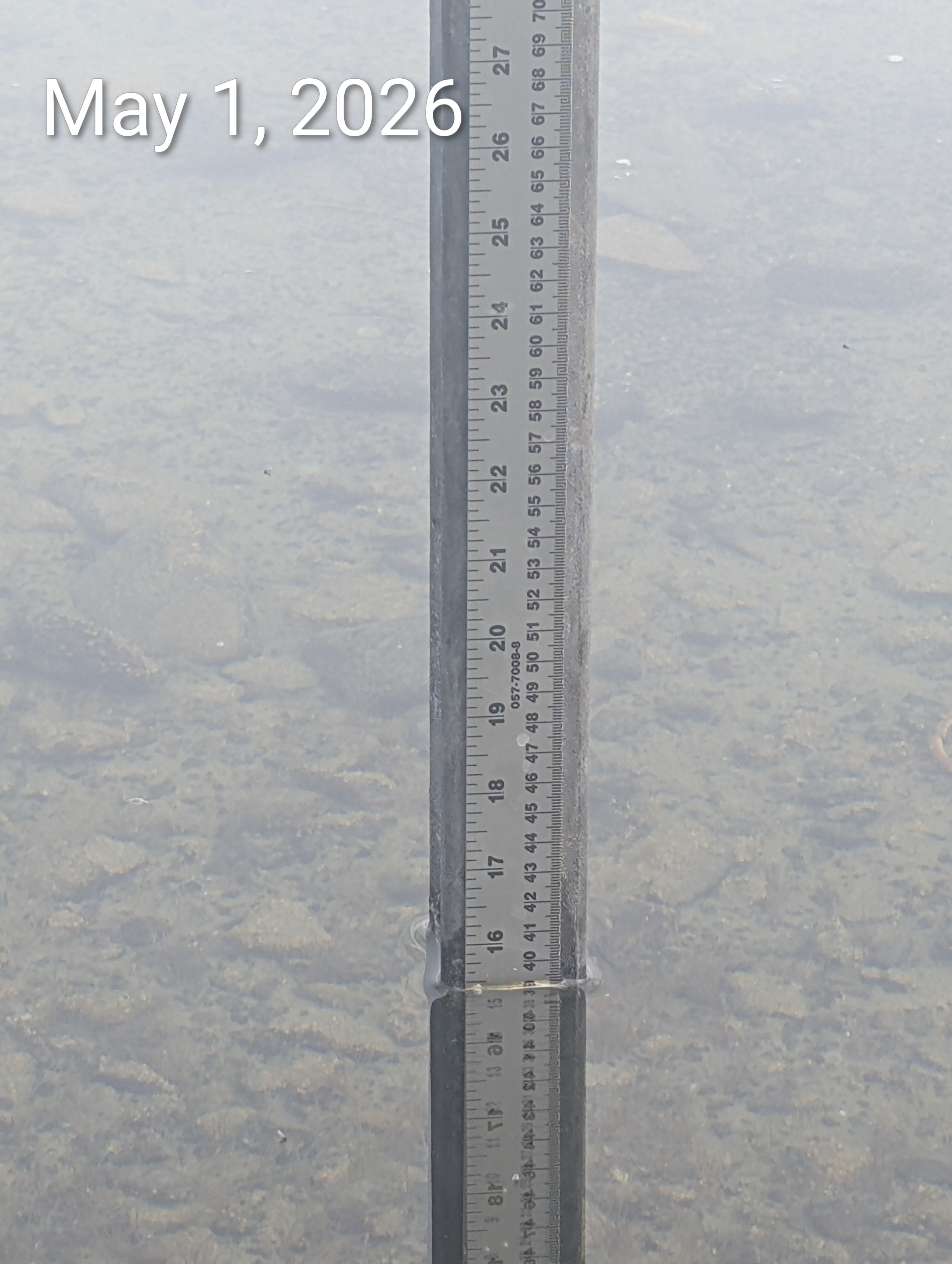
Sheridan Lake - Lake Gauge40km East of 100 Mile HouseSheridan Lake North East40km East of 100 Mile HouseSheridan Lake North40km East of 100 Mile House
NorthWest BC
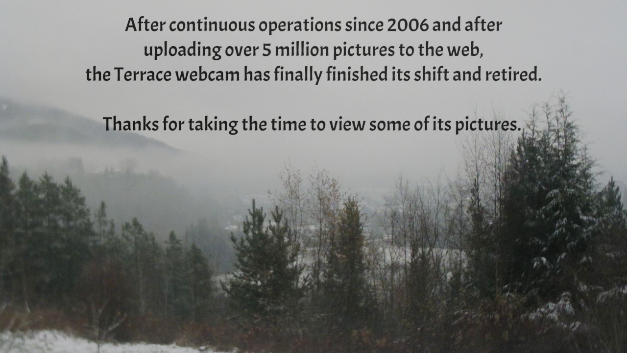
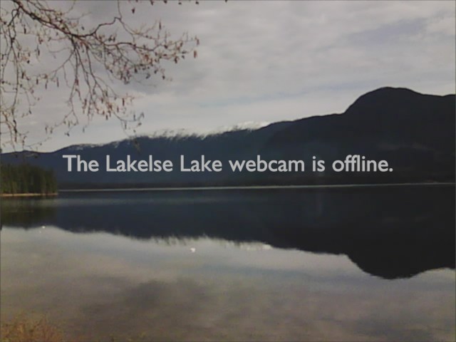
Terrace Looking SoutheastwardsKlinaklini GlacierTerrace, Looking East to Terrace MountainLakelse Lake, 20km South of Terrace, Looking NorthLakelse Lake, 20km South of Terrace, Looking EastLakelse Lake, 20km South of Terrace, Looking Southeast
Vancouver Island
Mount Washington - Alpine Live CamMount Washington - ZipTour CamMount Washington - Nordic CamSaanichSidney Waterfront CamSidney 5th StreetSidney Skate ParkCrown Isle Golf Resort looking SECourtenay BC


")