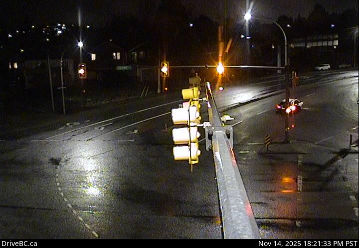
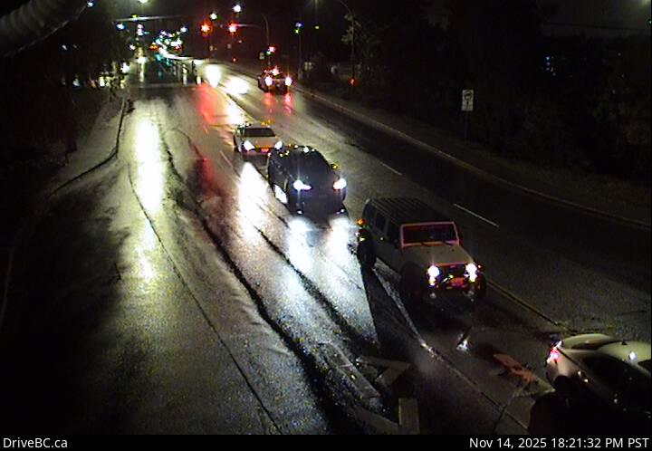
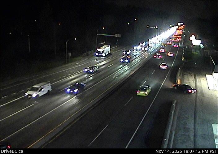
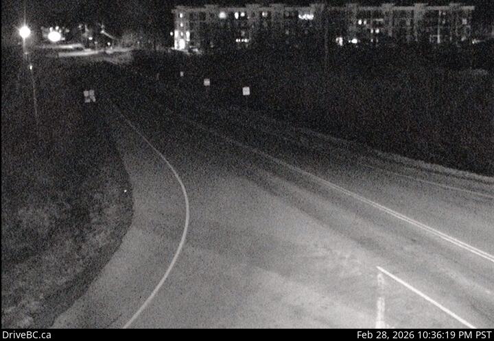
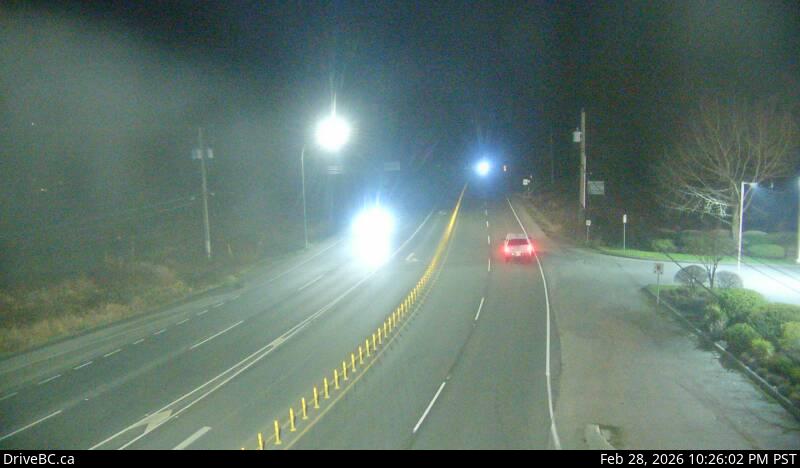
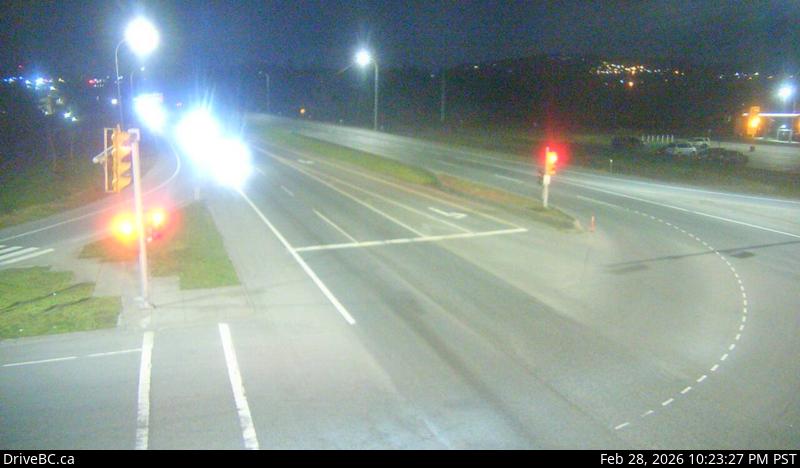
Departure Bay northboundHwy 1 at Zorkin Rd/Brechin Rd, looking northbound to Brechin Road.Departure Bay southboundHwy 1 at Zorkin Rd/Brechin Rd, looking to Stewart Avenue.Departure Bay FerryHwy 1 at Zorkin Rd/Brechin Rd, looking at Departure Bay Ferry Terminal.Departure Bay - Zorkin RdHwy 1 at Zorkin Rd/Brechin Rd, looking to Zorkin Road.
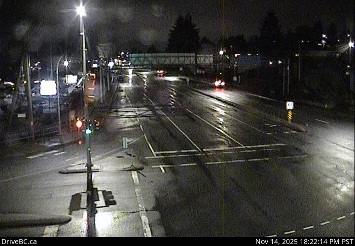
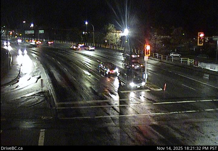
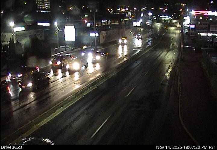
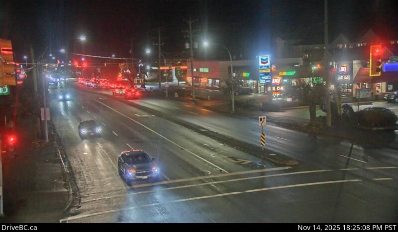
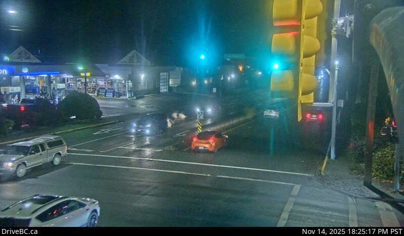
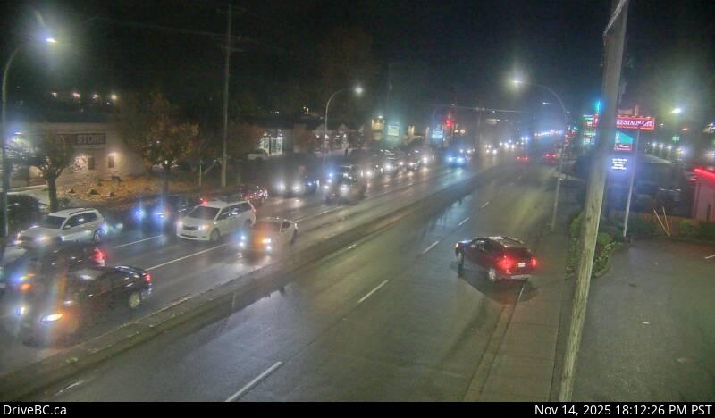
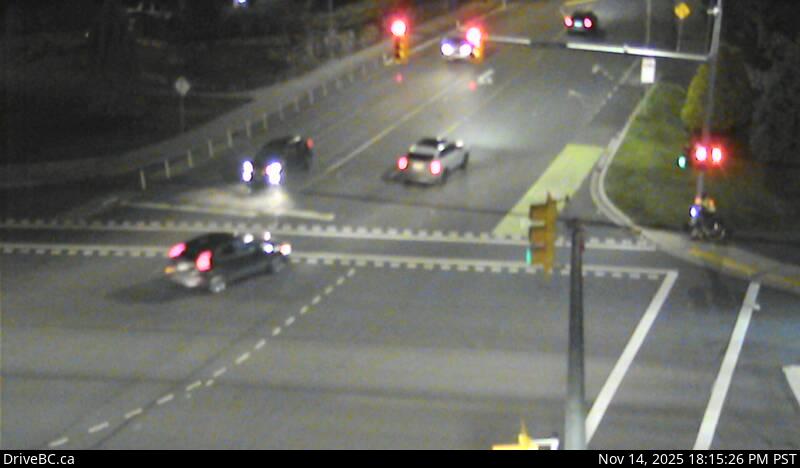
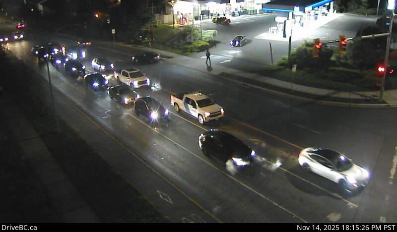
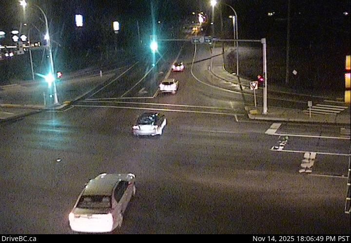
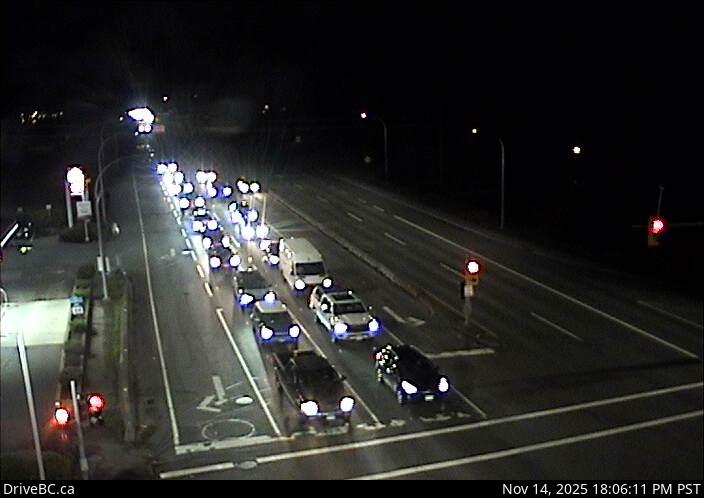
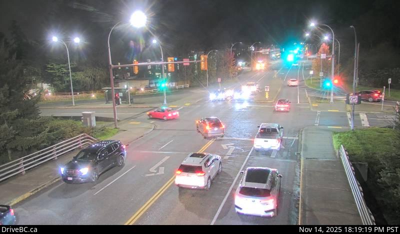
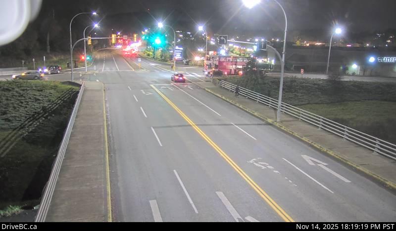
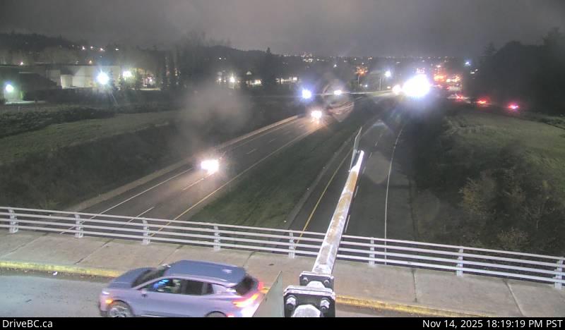
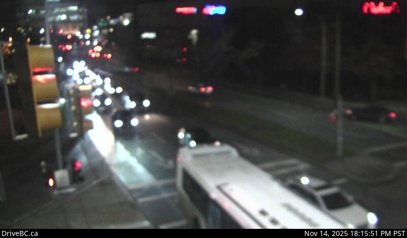
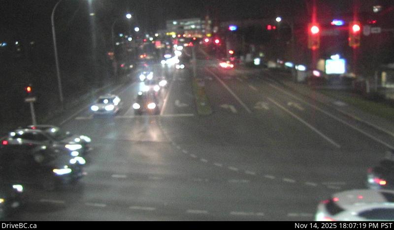
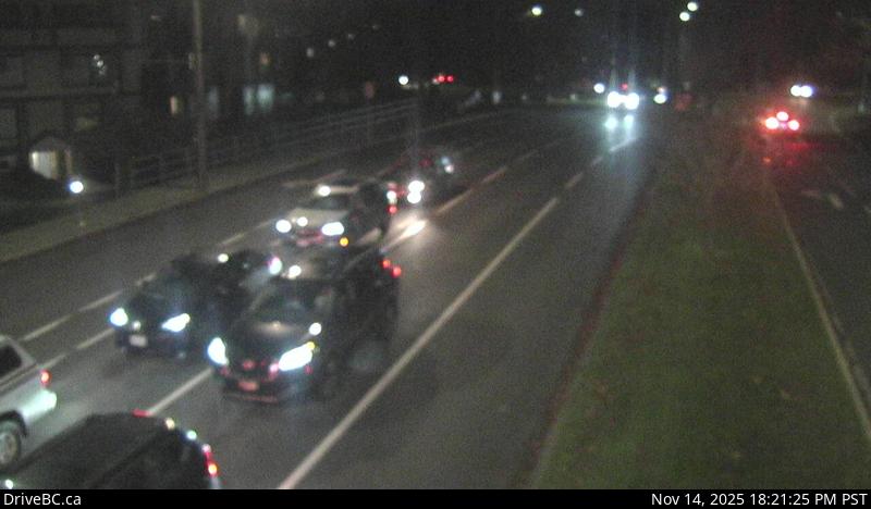
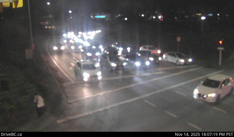
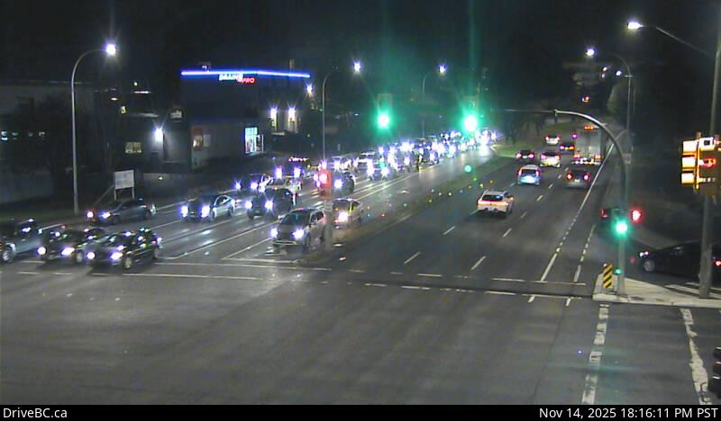
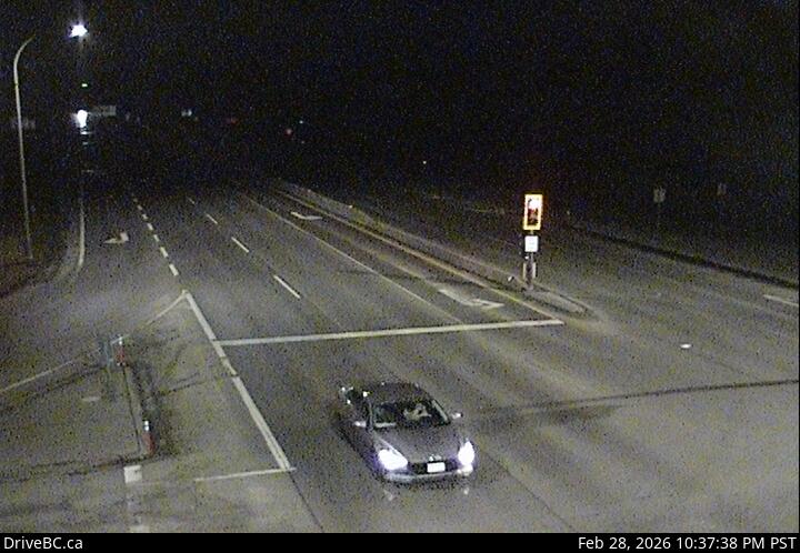
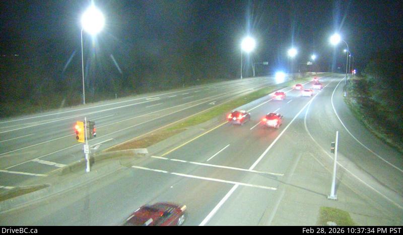
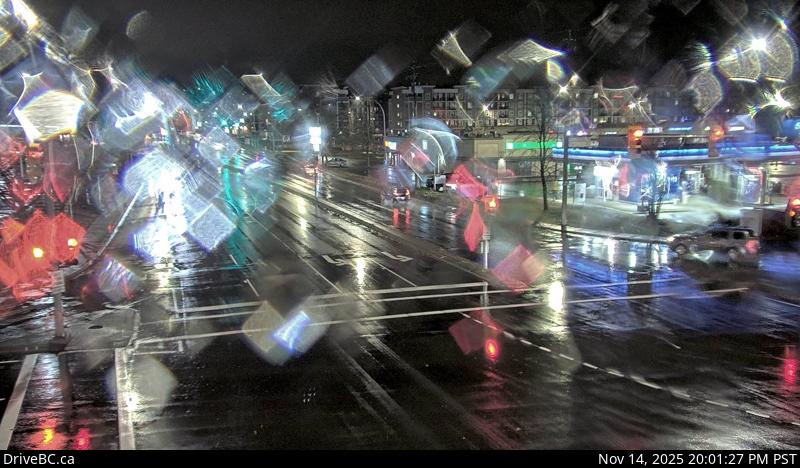
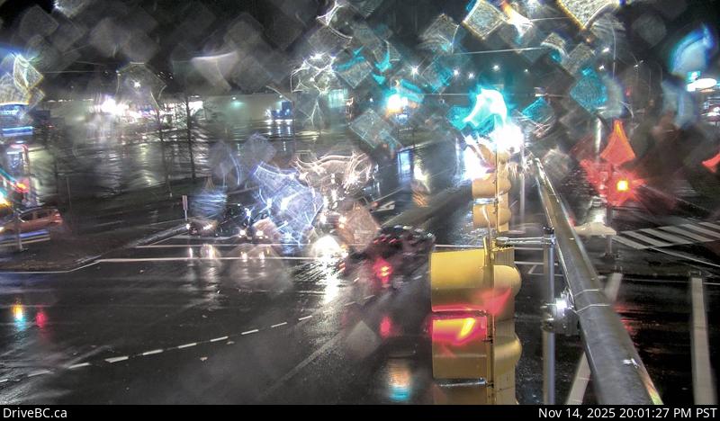
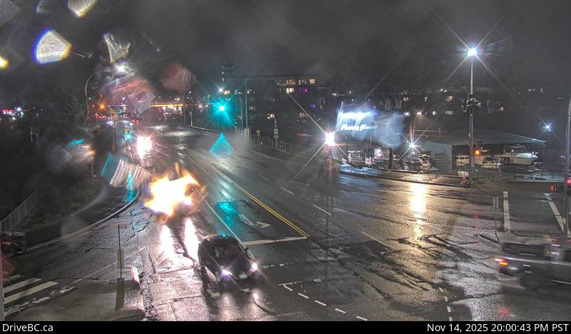
Comox Rd - NHwy 1, at Comox Rd and Terminal Ave in Nanaimo, looking north.Comox Rd - WHwy 1, at Comox Rd and Terminal Ave in Nanaimo, looking west.Comox Rd - EHwy 1, at Comox Rd and Terminal Ave in Nanaimo, looking east.Comox Rd - SHwy 1, at Comox Rd and Terminal Ave in Nanaimo, looking south.
Nanaimo Airport - NHwy 1, at Vowels Rd next to Nanaimo Airport, looking north.Nanaimo Airport - SHwy 1, at Vowels Rd next to Nanaimo Airport, looking south.LadysmithHwy 1 at South Davis Rd, south of Ladysmith, looking south.ChemainusHwy 1 at Henry Rd near Chemainus, looking south.
Herd Rd - NHwy 1, at Herd Rd/Cowichan Valley Hwy, about 5 km north of Duncan, looking north.Herd Rd - WHwy 1, at Herd Rd/Cowichan Valley Hwy, about 5 km north of Duncan, looking west.Herd Rd - EHwy 1, at Herd Rd/Cowichan Valley Hwy, about 5 km north of Duncan, looking east.Herd Rd - SHwy 1, at Herd Rd/Cowichan Valley Hwy, about 5 km north of Duncan, looking south.
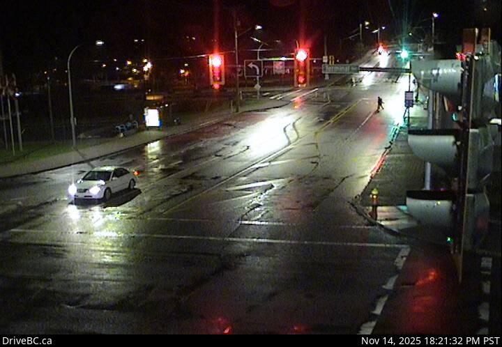
Duncan - NHwy 1 in Duncan at Trunk Rd, looking north.Duncan - EHwy 1 in Duncan at Trunk Rd, looking east.Duncan - SHwy 1 in Duncan at Trunk Rd, looking south.Cobble Hill RdHwy 1 at Cowichan Bay Rd/Cobble Hill Rd, looking south.
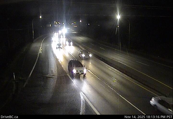
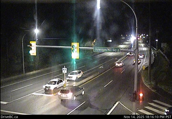
Mill Bay - NHwy 1 at Shawnigan Mill Bay Rd, looking north.Mill Bay - WHwy 1 at Shawnigan Mill Bay Rd, looking west.Mill Bay - SHwy 1 at Shawnigan Mill Bay Rd, looking south.Butterfield Rd - NHwy 1, approximately 3 km south of Mill Bay, looking north.
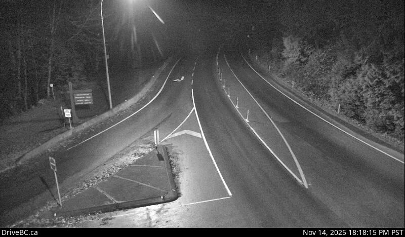
Butterfield Rd - SHwy 1, approximately 3 km south of Mill Bay, looking south.Bamberton - NHwy 1 south of Mill Bay Rd Overpass at the Bamberton Park Entrance, looking north.Bamberton - SHwy 1 south of Mill Bay Rd Overpass at the Bamberton Park Entrance, looking south.Malahat Summit - NHwy 1, about 3.7 km south of Bamberton, looking east.
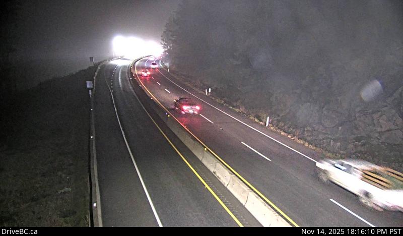
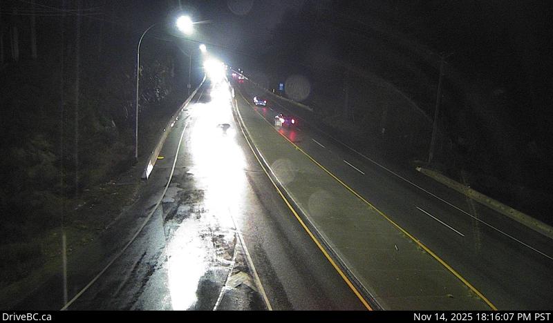
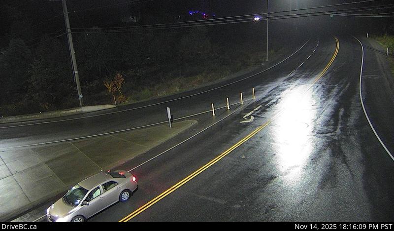
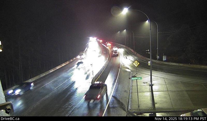
Malahat Summit - SHwy 1, about 3.7 km south of Bamberton, looking west.Malahat Drive - NHwy 1 at South Shawnigan Lake Road, looking north.South Shawnigan Lake Rd - WHwy 1 at South Shawnigan Lake Rd, looking west.Malahat Drive - SHwy 1 at South Shawnigan Lake Road, looking south.
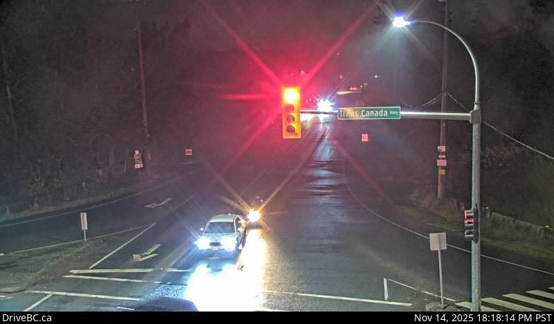
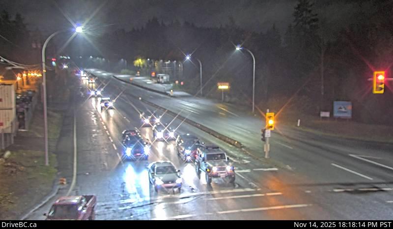
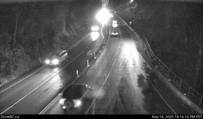
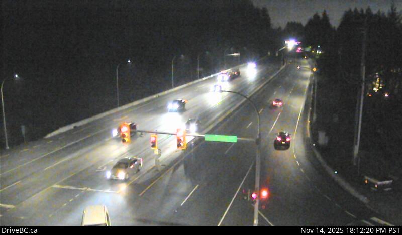
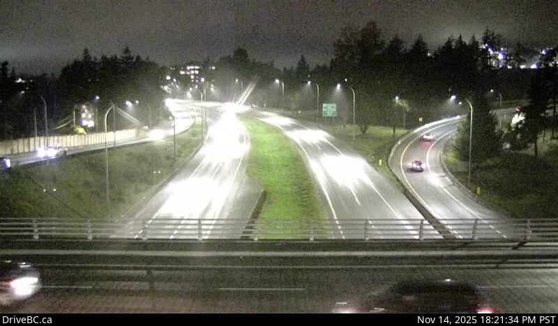
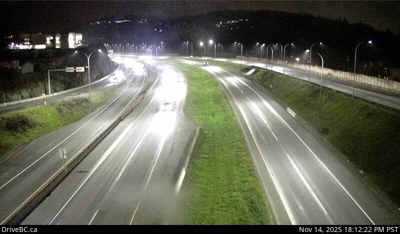
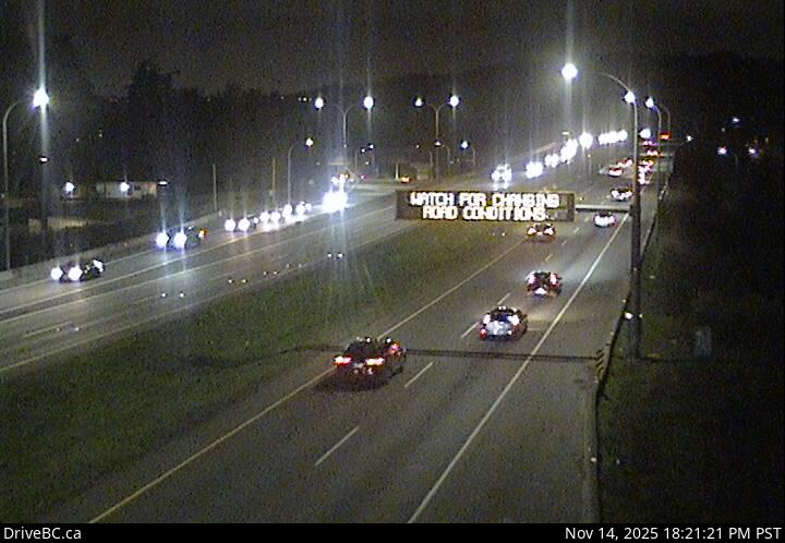
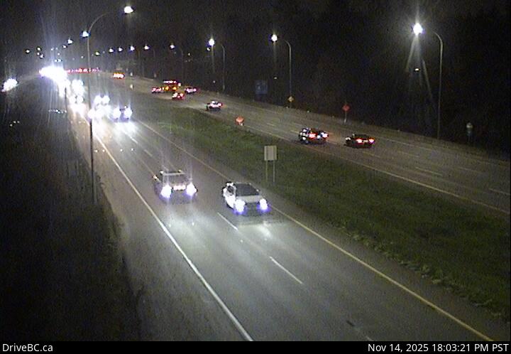
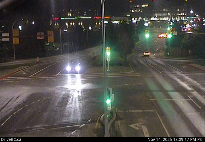
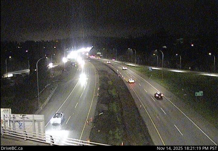
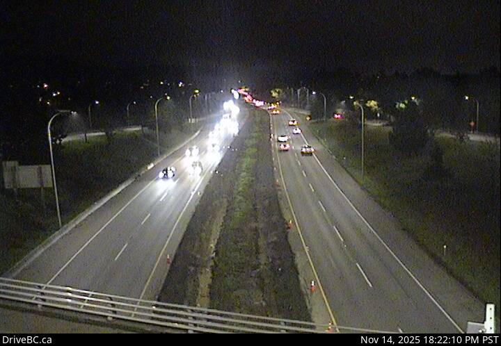
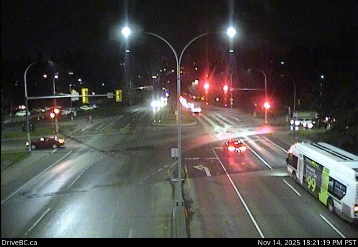
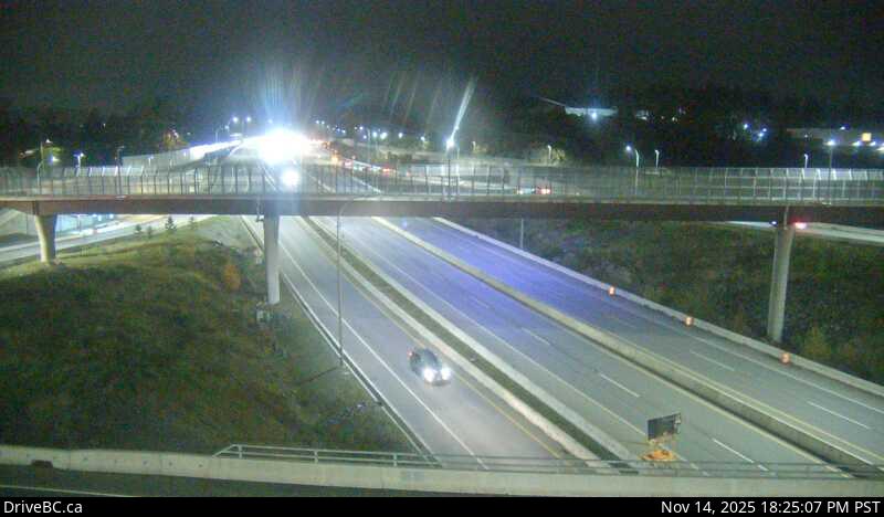
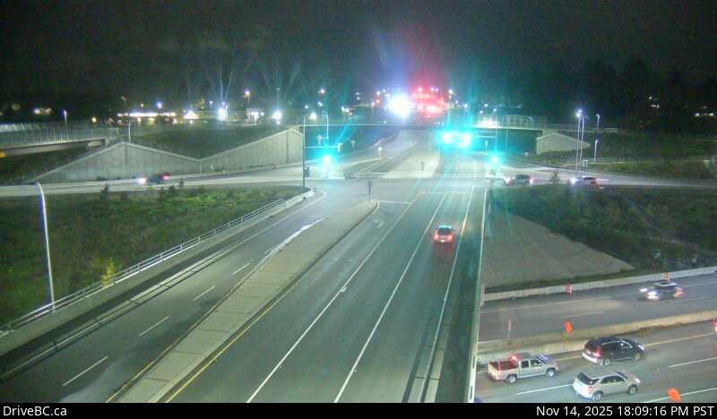
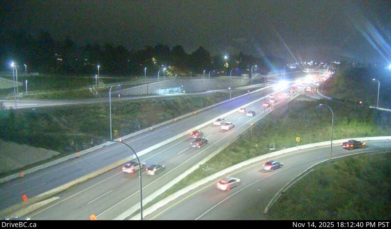
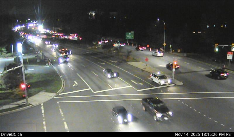
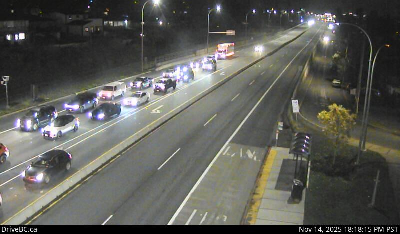
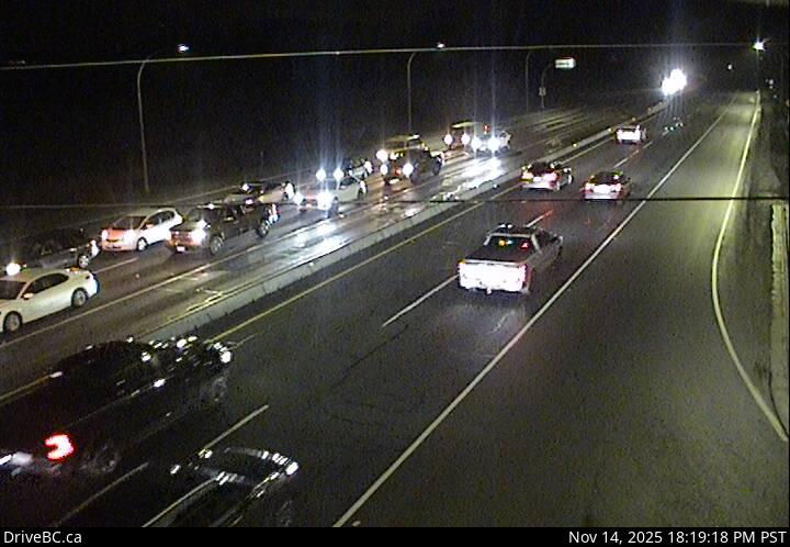
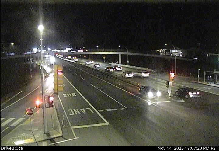
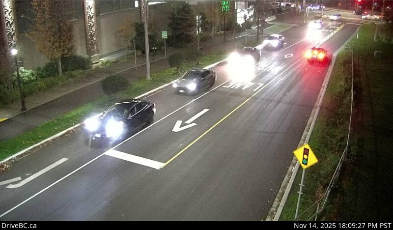
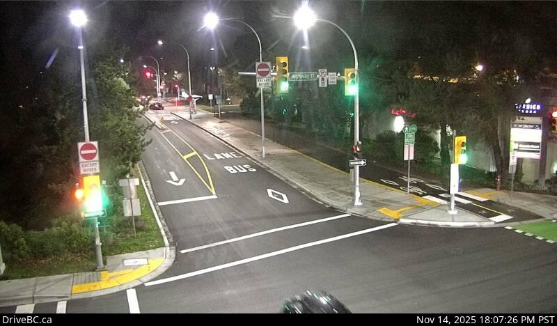
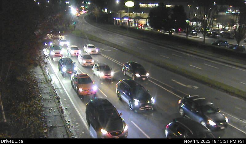
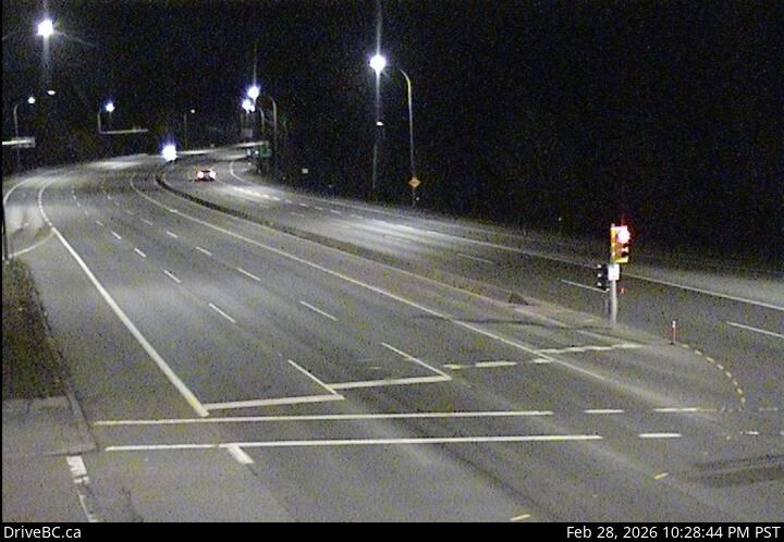
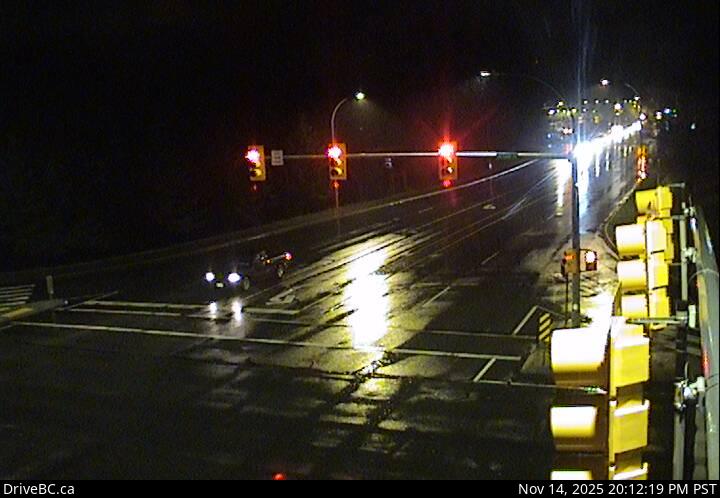
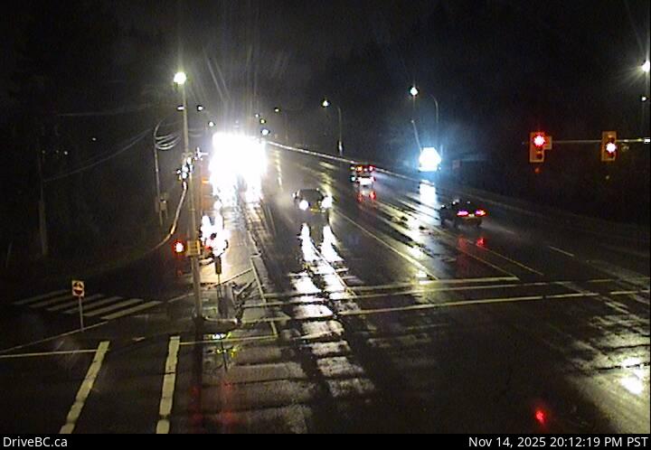
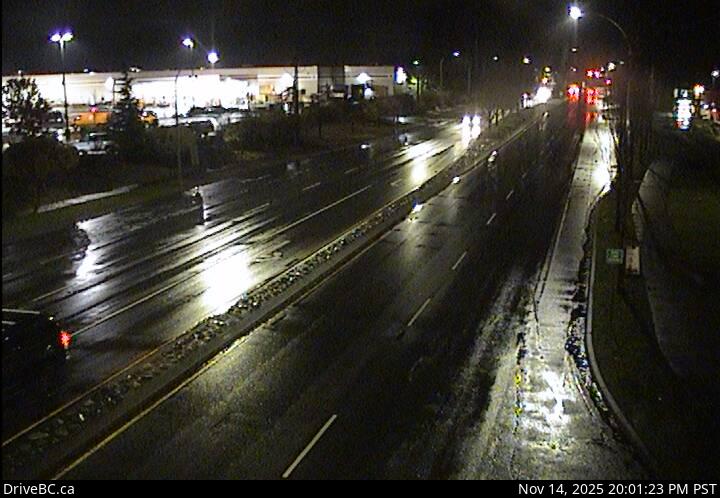
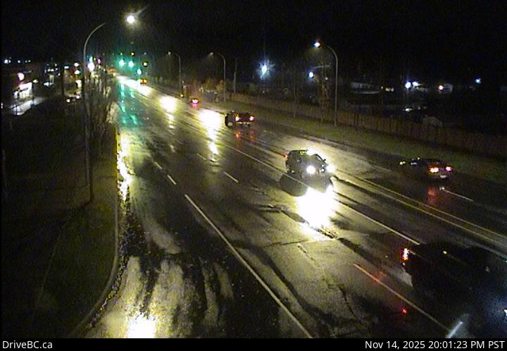
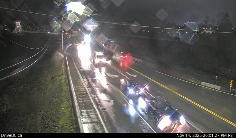
Okotoks - NHwy 1 at Okotoks Drive, looking north.Okotoks - SHwy 1 at Okotoks Drive, looking south.Tunnel Hill - NHwy 1 at Tunnel Hill on the Malahat, looking north.Tunnel Hill - SHwy 1 at Tunnel Hill on the Malahat, looking south.Goldstream - NHwy 1, in Goldstream Park at Finlayson Arm Rd, looking north.elevation: 13 metresGoldstream - SHwy 1, in Goldstream Park at Finlayson Arm Rd, looking south. (elevation: 13 metres)Hwy 1 at West Shore Pkwy northboundHwy 1 at West Shore Parkway, looking northbound toward Goldstream Park.West Shore ParkwayHwy 1 looking southwest along West Shore Parkway.Hwy 1 at West Shore Pkwy southboundHwy 1 at West Shore Parkway, looking southbound towards Victoria.Spencer Rd - NHwy 1 at Spencer Rd, northbound looking west.Spencer Rd - SHwy 1 at Spencer Rd, southbound looking east.Millstream Rd - NHwy 1 at the Millstream Interchange, looking north.elevation: 80 metresMillstream Rd - WHwy 1 at Millstream Interchange, looking west. (elevation: 80 metres)Millstream Rd - EHwy 1 at Millstream Interchange, looking east. (elevation: 80 metres)Colwood - WHwy 1, northbound, near the View Royal/Colwood exit, looking west.Colwood - EHwy 1, southbound, near the View Royal/Colwood exit, looking east.Helmcken - NHwy 1 at Helmcken Overpass looking northHelmcken - WHwy 1 at Helmcken Overpass, looking west.Helmcken - EHwy 1 at Helmcken overpass, looking east.Helmcken - SHwy 1 at Helmcken overpass, looking south.Admirals-McKenzie - NHwy 1, at Admirals Rd - McKenzie Ave, looking north.Admirals-McKenzie - WHwy 1, at Admirals Rd - McKenzie Ave, looking west.Admirals-McKenzie - EHwy 1, at Admirals Rd - McKenzie Ave, looking east.Admirals-McKenzie - SHwy 1, at Admirals Rd - McKenzie Ave, looking south.Tillicum - NHwy 1 at Tillicum Rd, looking north.Tillicum - WHwy 1 at Tillicum Rd, looking west.Tillicum - EHwy 1 at Tillicum Rd, looking east.Tillicum - SHwy 1 at Tillicum Rd, looking south.Carey Rd - NWHwy 1 at Carey Rd, looking northwest.elevation: 17 metresCarey Rd - SEHwy 1 at Carey Rd, looking southeast. (elevation: 17 metres)
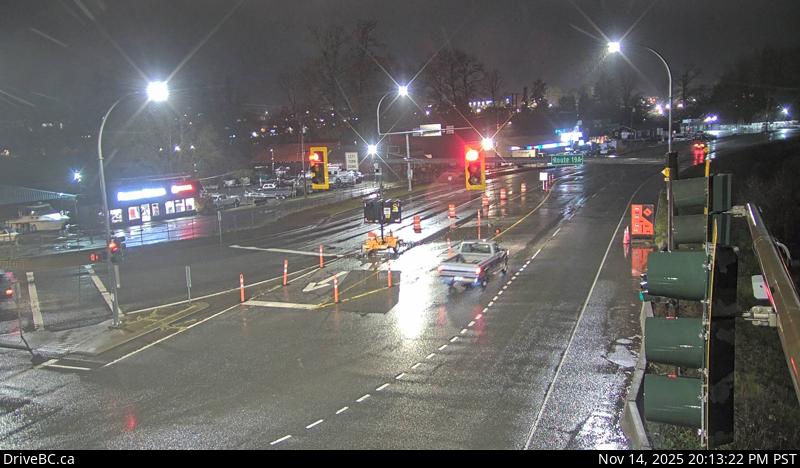
Highway 4
Ucluelet-Tofino Hwy JunctionHwy 4 at Ucluelet-Tofino Hwy junction, looking north.Kennedy LakeHwy 4, by Kennedy Lake, looking west.Port Alberni SummitHwy 4 about 9 km east of Port Alberni, looking west.Sutton PassHwy 4 at Sutton Pass, between Ucluelet/Tofino and Port Alberni, looking southwest.
Hwy 4 at Alberni Hwy - NHwy 4 at Alberni Hwy (Hwy 4A) junction, about 2 km west of Coombs, looking north.Hwy 4 at Alberni Hwy - WHwy 4 at Alberni Hwy (Hwy 4A) junction, about 2 km west of Coombs, looking west.Hwy 4 at Alberni Hwy - EHwy 4 at Alberni Hwy (Hwy 4A) junction, about 2 km west of Coombs, looking east.
Highway 14
Hwy 14 at Trailhead DrHwy 14 near Cormorant Way/Trailhead Dr, looking east.Sooke - WHwy 14 at Lazzar Rd near Sooke, looking west.Sooke - EHwy 14 at Lazzar Rd near Sooke, looking east.Suyer RoadHwy 14, between Langford and Sooke near Suyer Rd, looking east.
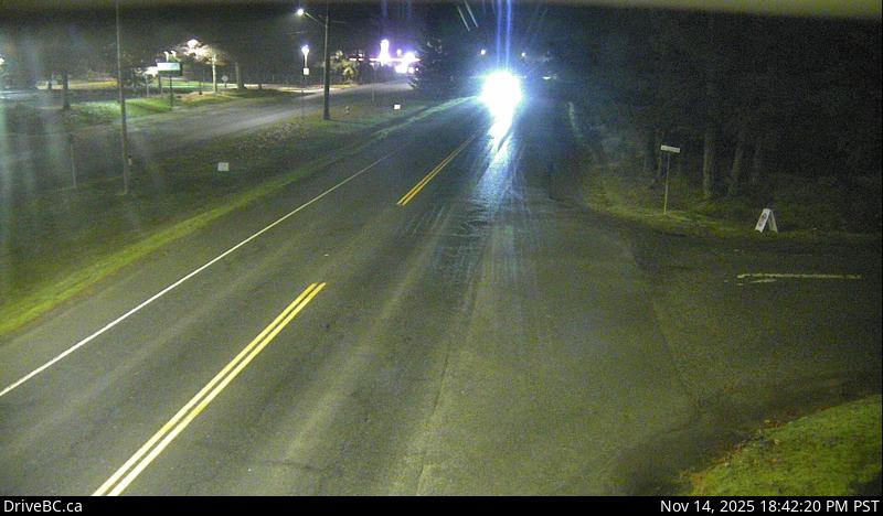
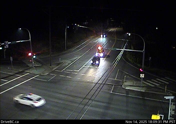
Veteran's Memorial Pkwy - NHwy 14 (Veteran's Memorial Parkway) at Goldstream Ave in Langford, looking north.Veteran's Memorial Pkwy - WHwy 14 (Veteran's Memorial Parkway) at Goldstream Ave in Langford, looking west.Veteran's Memorial Pkwy - EHwy 14 (Veteran's Memorial Parkway) at Goldstream Ave in Langford, looking east.Veteran's Memorial Pkwy - SHwy 14 (Veteran's Memorial Parkway) at Goldstream Ave in Langford, looking south.
Hwy 14 at Kangaroo Rd - WHwy 14 at Kangaroo Rd, looking west.Hwy 14 at Kangaroo Rd - EHwy 14 at Kangaroo Rd, looking east.Hwy 14 at Kangaroo Rd - SHwy 14 at Kangaroo Rd, looking south
Highway 17
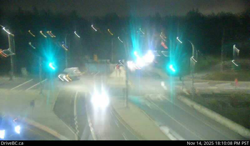
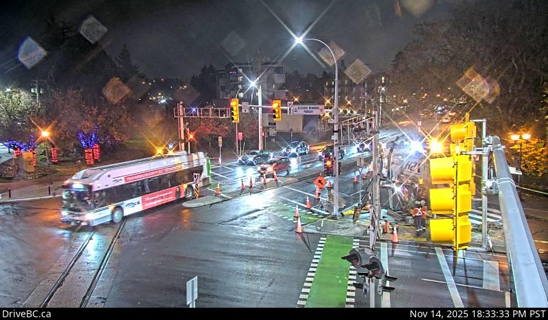
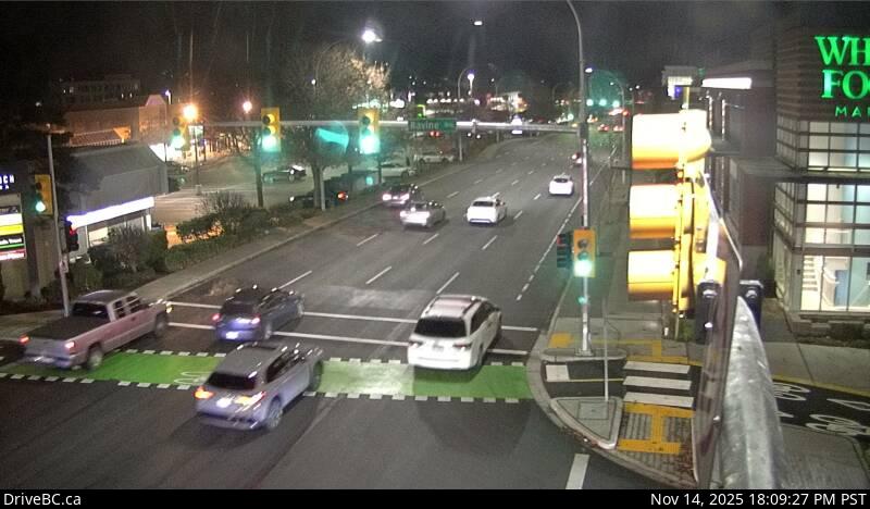
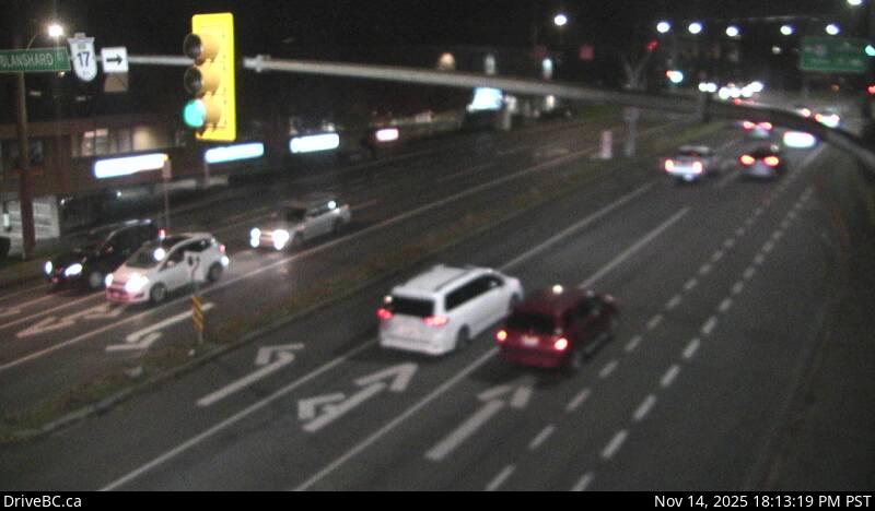
McTavish Rd - NHwy 17 at McTavish Road, looking north.McTavish Rd - SHwy 17 at McTavish Road, looking south.Mt Newton X Rd - NHwy 17 at Mt Newton Cross Rd, looking north.Mt Newton X Rd - WHwy 17 at Mt Newton Cross Rd, looking west.Mt Newton X Rd - EHwy 17 at Mt Newton Cross Rd, looking east.Mt Newton X Rd - SHwy 17 at Mt Newton Cross Rd, looking south.Hwy 17 at Sayward Rd - NHwy 17 at Sayward Road, looking north.Sayward Rd - EPatricia Bay Hwy (Hwy 17) at Sayward Rd in Saanich, looking east.elevation: 68 metresHwy 17 at Sayward Rd - SPatricia Bay Hwy at Sayward Rd in Saanich, looking south.Royal Oak - NHwy 17 at Royal Oak Dr, looking north. Royal Oak - WHwy 17 at Royal Oak Dr, looking west. Royal Oak - EHwy 17 at Royal Oak Dr, looking east.Royal Oak - SHwy 17 at Royal Oak Dr, looking south.Ravine Way - NHwy 17 (Patricia Bay Highway) at Ravine Way, looking north.Ravine Way - WHwy 17 (Patricia Bay Highway) at Ravine Way, looking west.Ravine Way - EHwy 17 (Patricia Bay Highway) at Ravine Way, looking east.Ravine Way - SHwy 17 (Patricia Bay Highway) at Ravine Way, looking south.Hwy 17 at Saanich Rd 1 - NHwy 17 southbound (Blanshard St) at Saanich Rd, looking north.Hwy 17 at Saanich Rd 1 - WHwy 17, Blanshard St at Saanich Rd, looking west.Hwy 17 at Saanich Rd 1 - EHwy 17 southbound (Blanshard St) at Saanich Rd, looking east.Hwy 17 at Saanich Rd 1 - SHwy 17 southbound (Blanshard St) at Saanich Rd, looking south.Hwy 17 at Saanich Rd 2 - NHwy 17 at Saanich Rd 2 - WHwy 17 northbound at Saanich Rd, looking west. Hwy 17 at Saanich Rd 2 - EHwy 17 northbound at Saanich Rd, looking east.Hwy 17 at Saanich Rd 2 - SHwy 17 northbound at Saanich Rd, looking south. Hwy 17 at Cloverdale Ave - NHwy 17 at Cloverdale Ave in Victoria, looking north.Hwy 17 at Cloverdale Ave - SHwy 17 at Cloverdale Ave in Victoria, looking south.
Highway 18
South Cowichan LakeSouth Shore Rd at Pacific Marine Rd, looking south.Skutz FallsHwy 18, at Skutz Falls Road, looking west.CowichanHwy 18, mid-point between Hwy 1 turn-off and Cowichan Lake exit, looking west.
Highway 19
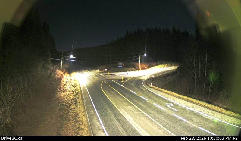
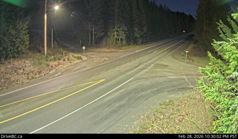
Hwy 19 at Port Alice RdHwy 19 at Hwy 30 (Port Alice Rd) junction, between Port Hardy and Port McNeill, looking south.
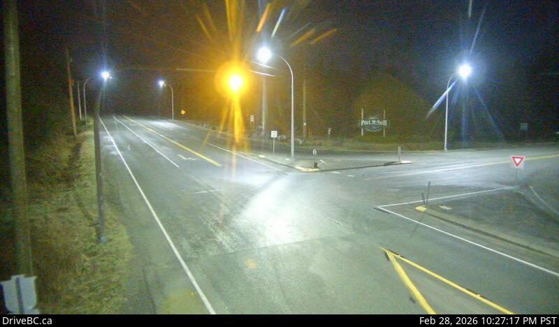
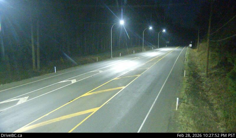
Port McNeill - WHwy 19 at Campbell Way in Port McNeil, looking west.Port McNeill - EHwy 19 at Campbell Way in Port McNeil, looking east.WossHwy 19, 75 km south east of Port McNeill and 128 km north of Campbell River, looking east.
TsitikaHwy 19, Tsitika, 101 km north of Campbell River and about 27 km south of Woss, looking south-east.
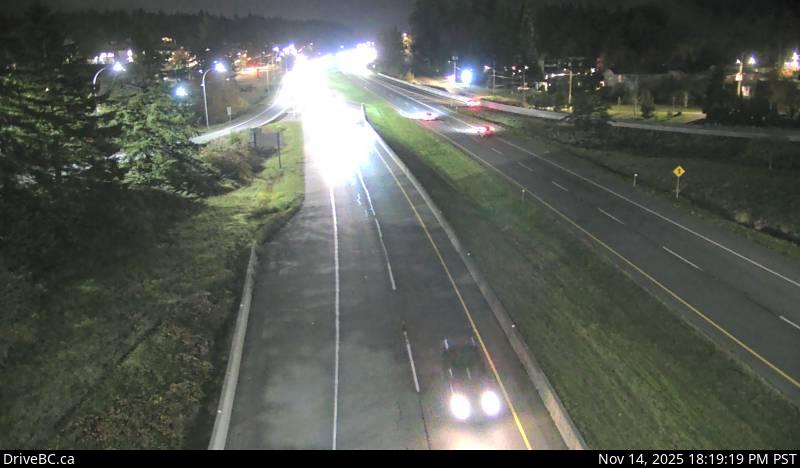
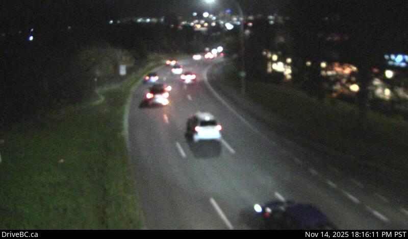
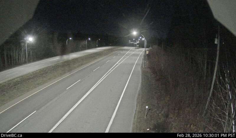
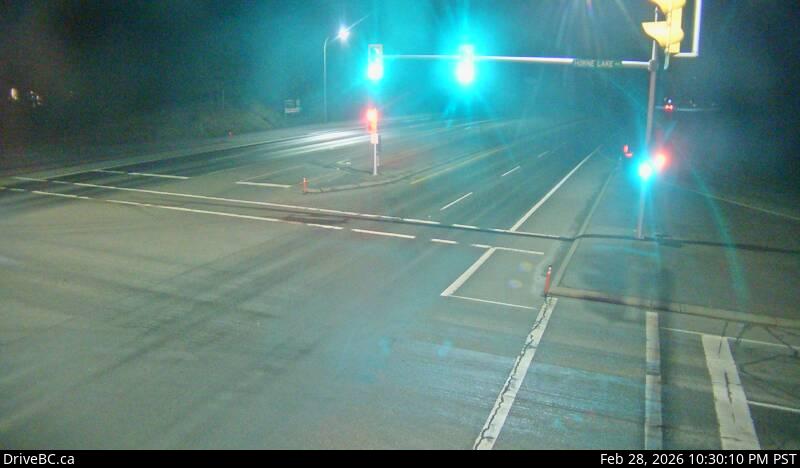
Roberts LakeHwy 19, 31 km north of Campbell River, looking north.Campbell River - NHwy 19 at Willis Rd, about 2.5 km south of Campbell River, looking north.Campbell River - WHwy 19 at Willis Rd, about 2.5 km south of Campbell River, looking west.Campbell River - EHwy 19 at Willis Rd, about 2.5 km south of Campbell River, looking east.Campbell River - SHwy 19 at Willis Rd, about 2.5 km south of Campbell River, looking south.Black CreekHwy 19 at Hamm Road, about 25 km north of Courtenay, looking north.Piercy Rd - NHwy 19 at Piercy Rd, looking north.Piercy Rd - SHwy 19 at Piercy Rd, looking south.Buckley Bay RdHwy 19, near the Buckley Bay Rd Interchange, looking north.Cook Creek RoadHwy 19 at Cook Creek Road, about 29 km north of Parksville, looking north.Horne Lake Rd - NHwy 19 at Horne Lake Rd, looking north.Horne Lake Rd - WHwy 19 at Horne Lake Rd, looking west.Horne Lake Rd - EHwy 19 at Horne Lake Rd, looking east.Horne Lake Rd - SHwy 19 at Horne Lake Rd, looking south.Qualicum Interchange - NWHwy 19, south of Qualicum Interchange (Hwy 4), looking northwest.Qualicum Interchange - SEHwy 19, south of Qualicum Interchange (Hwy 4), looking southeast.Nanoose Bay - NHwy 19 at Northwest Bay Rd, near Nanoose Bay, looking north.Nanoose Bay - EHwy 19 at Northwest Bay Rd, near Nanoose Bay, looking east.Nanoose Bay - SHwy 19 at Northwest Bay Rd, near Nanoose Bay, looking south.Nanoose Rest Area - NHwy 19 at the Nanoose Rest Area, looking north.Nanoose Rest Area - SHwy 19 at the Nanoose Rest Area, looking south.Aulds Rd - NHwy 19, at Aulds Rd in Nanaimo, looking north.Aulds Rd - WHwy 19, at Aulds Rd in Nanaimo, looking west.Aulds Rd - EHwy 19, at Aulds Rd in Nanaimo, looking east.Aulds Rd - SHwy 19, at Aulds Rd in Nanaimo, looking south.Northfield Rd - NHwy 19 at Northfield Rd in Nanaimo, looking north. Northfield Rd - WHwy 19 at Northfield Rd in Nanaimo, looking west. Northfield Rd - EHwy 19 at Northfield Rd in Nanaimo, looking east Northfield Rd - SHwy 19 at Northfield Rd in Nanaimo, looking south. Nanaimo ParkwayNanaimo ParkwayHwy 19 at College Drive, looking north.
Highway 19A
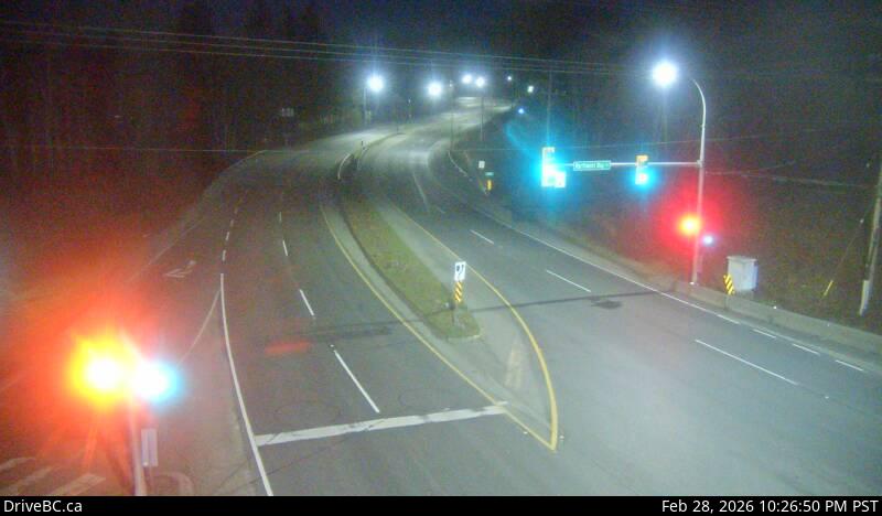
Hwy 19A at Ryan Rd - NHwy 19A at Ryan Road in Courtenay, looking northbound. (elevation: 4 metres)Hwy 19A at Ryan Rd - WHwy 19A at Ryan Road in Courtenay, looking westbound. (elevation: 4 metres)Hwy 19A at Ryan Rd - EHwy 19A at Ryan Road in Courtenay, looking eastbound. (elevation: 4 metres)Hwy 19A at Ryan Rd - SHwy 19A at Ryan Road in Courtenay, looking southbound. (elevation: 4 metres)Ryan Rd - NIntersection of Ryan Rd and Lerwick Rd in Courtenay, looking north.Ryan Rd - WIntersection of Ryan Rd and Lerwick Rd in Courtenay, looking west.Ryan Rd - EIntersection of Ryan Rd and Lerwick Rd in Courtenay, looking east.Ryan Rd - SIntersection of Ryan Rd and Lerwick Rd in Courtenay, looking south.Hwy 19A at 17th Street Bridge - NHwy 19A at 17th Street Bridge in Courtenay, looking northbound. (elevation: 7 metres)Hwy 19A at 17th Street Bridge - SHwy 19A at 17th Street Bridge in Courtenay, looking southbound on Comox Rd. (elevation: 7 metres)
Hwy 19A at 17th Street Bridge - WHwy 19A at 17th Street Bridge in Courtenay, looking west. (elevation: 7 metres)
Highway 28
Gold River HighwayGold River HighwayHwy 28, (Gold River Hwy) about 24 km west of Campbell River, looking west.
Crest LakeCrest LakeHwy 28, (Gold River Hwy), at Crest Lake, about 14 km east of Gold River, looking east.